Chapter 02
Norway

Kyrkjenøse → Sognefjell

Week three, moving into higher country.

Distance76.17 kmLow point751 mHigh point2,049 mJourney50 days
Route overview

Kyrkjenøse → Sognefjell

KyrkjenøseSognefjell
Elevation character

Rhythm of the stage

starthigh countryfinish

This graphic is illustrative, not a measured elevation profile.

Kyrkjenøse to Sognefjell #1
Kyrkjenøse to Sognefjell #2
Kyrkjenøse to Sognefjell #3
Kyrkjenøse to Sognefjell #4
Kyrkjenøse to Sognefjell #5
Kyrkjenøse to Sognefjell #6
Kyrkjenøse to Sognefjell #7
Kyrkjenøse to Sognefjell #8
Kyrkjenøse to Sognefjell #9
Kyrkjenøse to Sognefjell #10
Kyrkjenøse to Sognefjell #11
Kyrkjenøse to Sognefjell #12
Kyrkjenøse to Sognefjell #13
Kyrkjenøse to Sognefjell #14
Kyrkjenøse to Sognefjell #15
Kyrkjenøse to Sognefjell #16
Kyrkjenøse to Sognefjell #17
Kyrkjenøse to Sognefjell #18
View the journey map
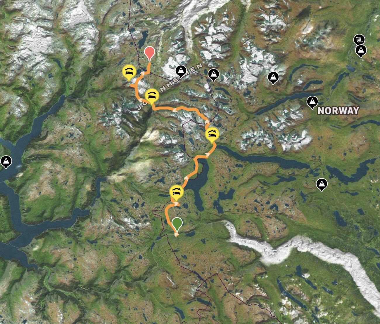
The journey map for Kyrkjenøse to Sognefjell
Journey map · Kyrkjenøse → SognefjellMap · elevation profile · trail photographs
Into the high mountains

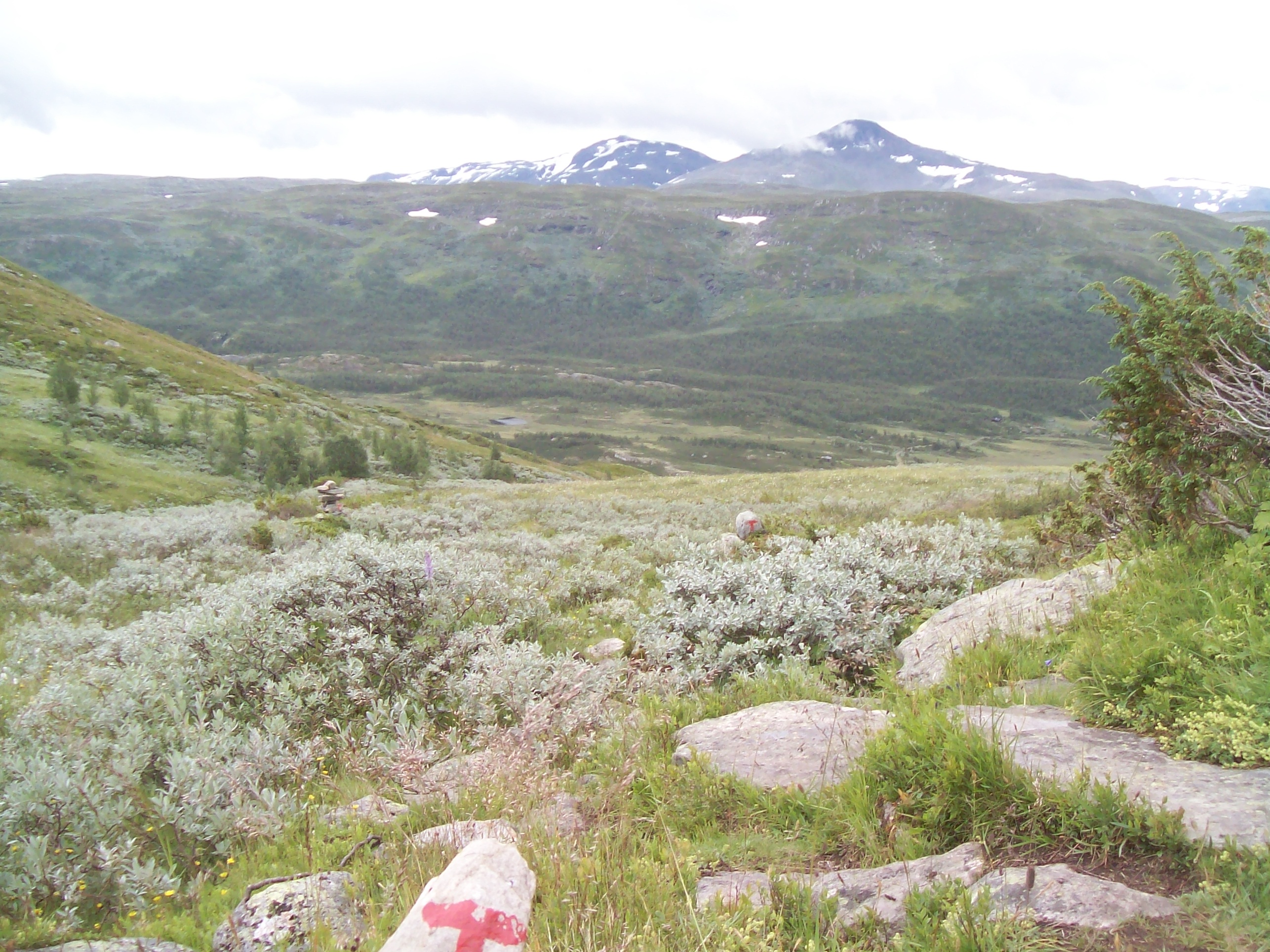
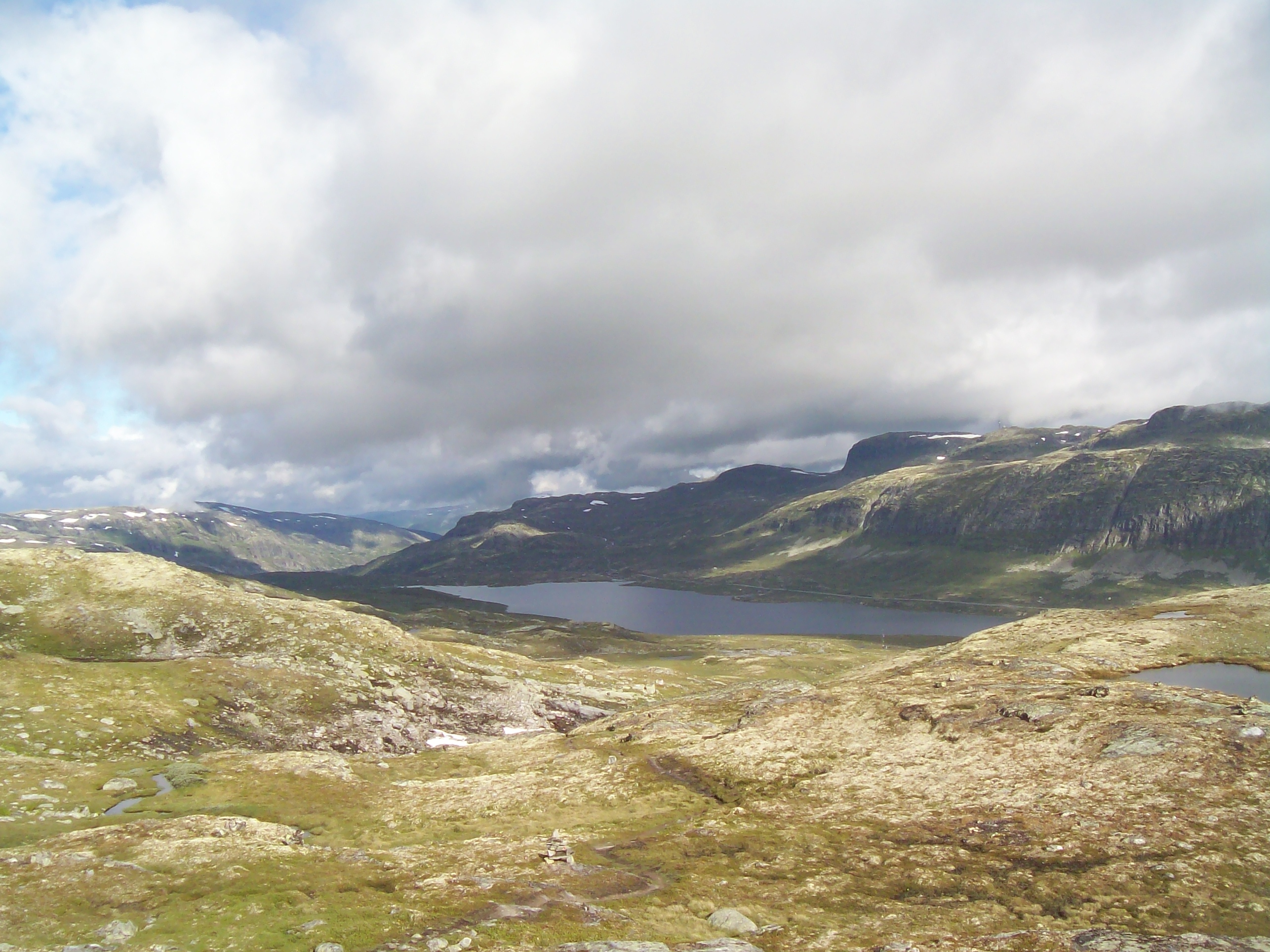
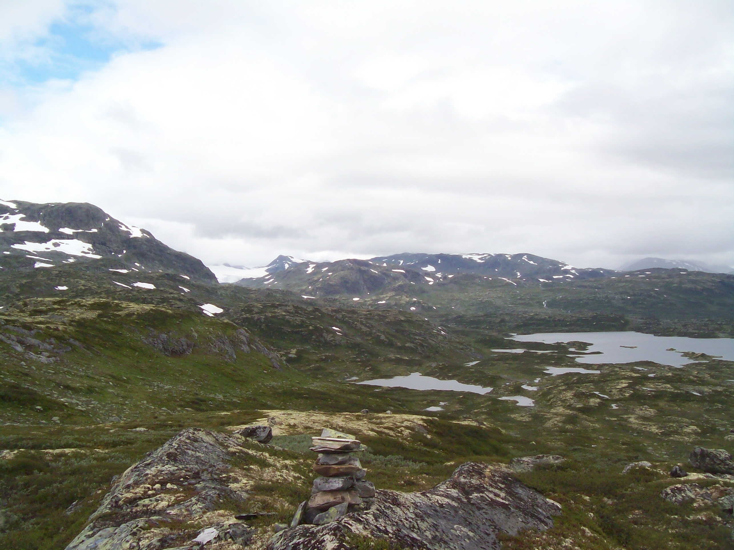
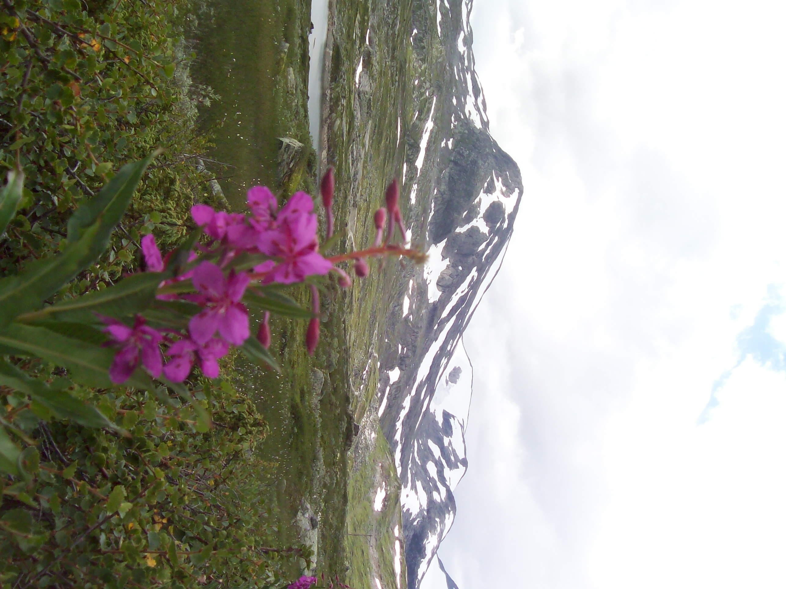
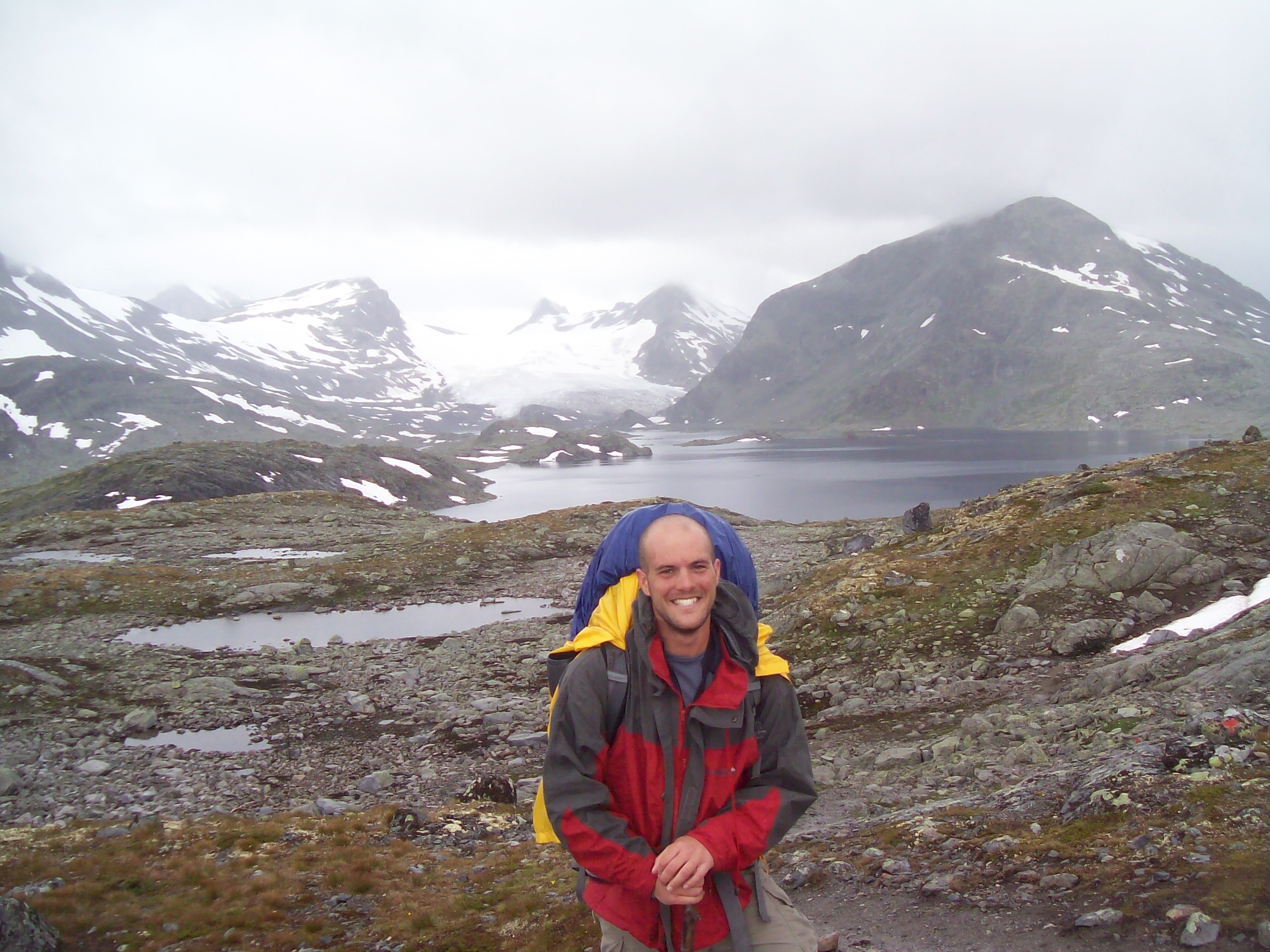
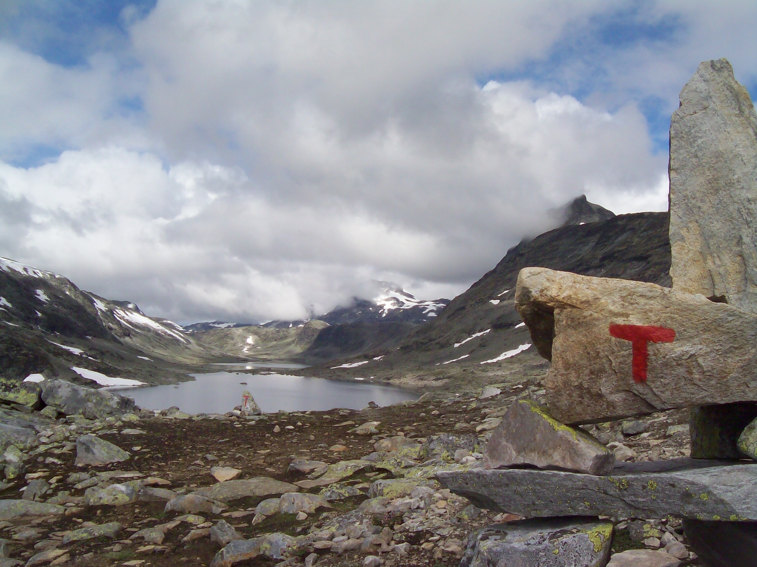
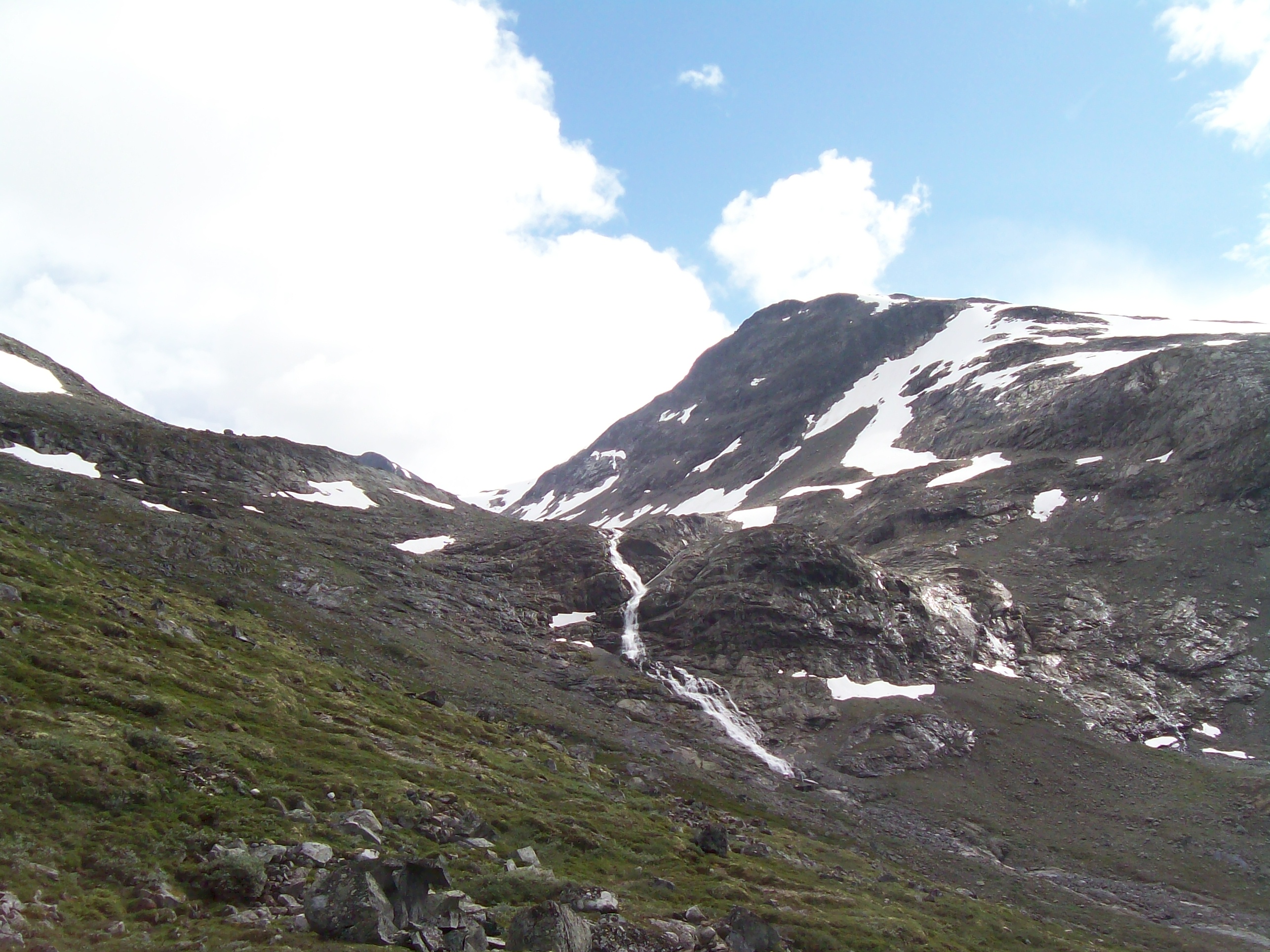
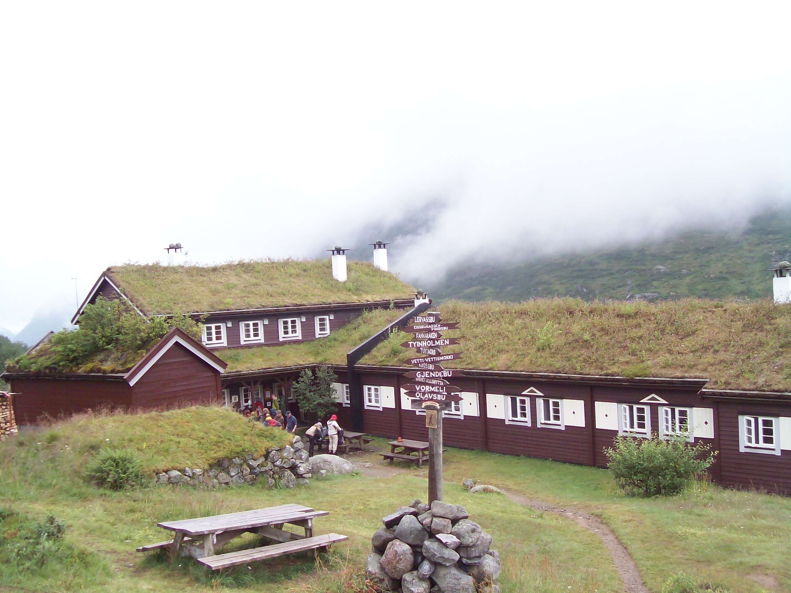
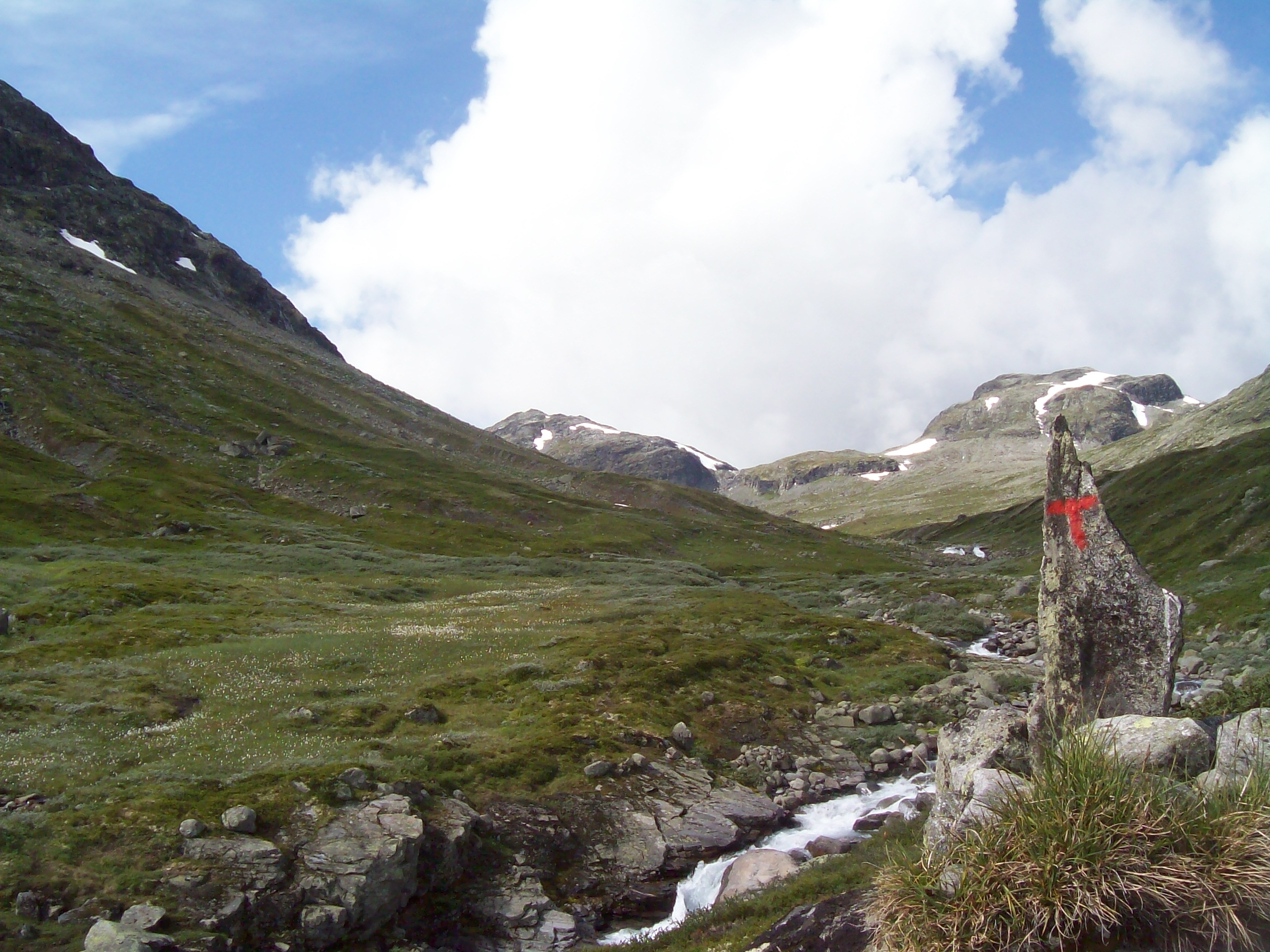
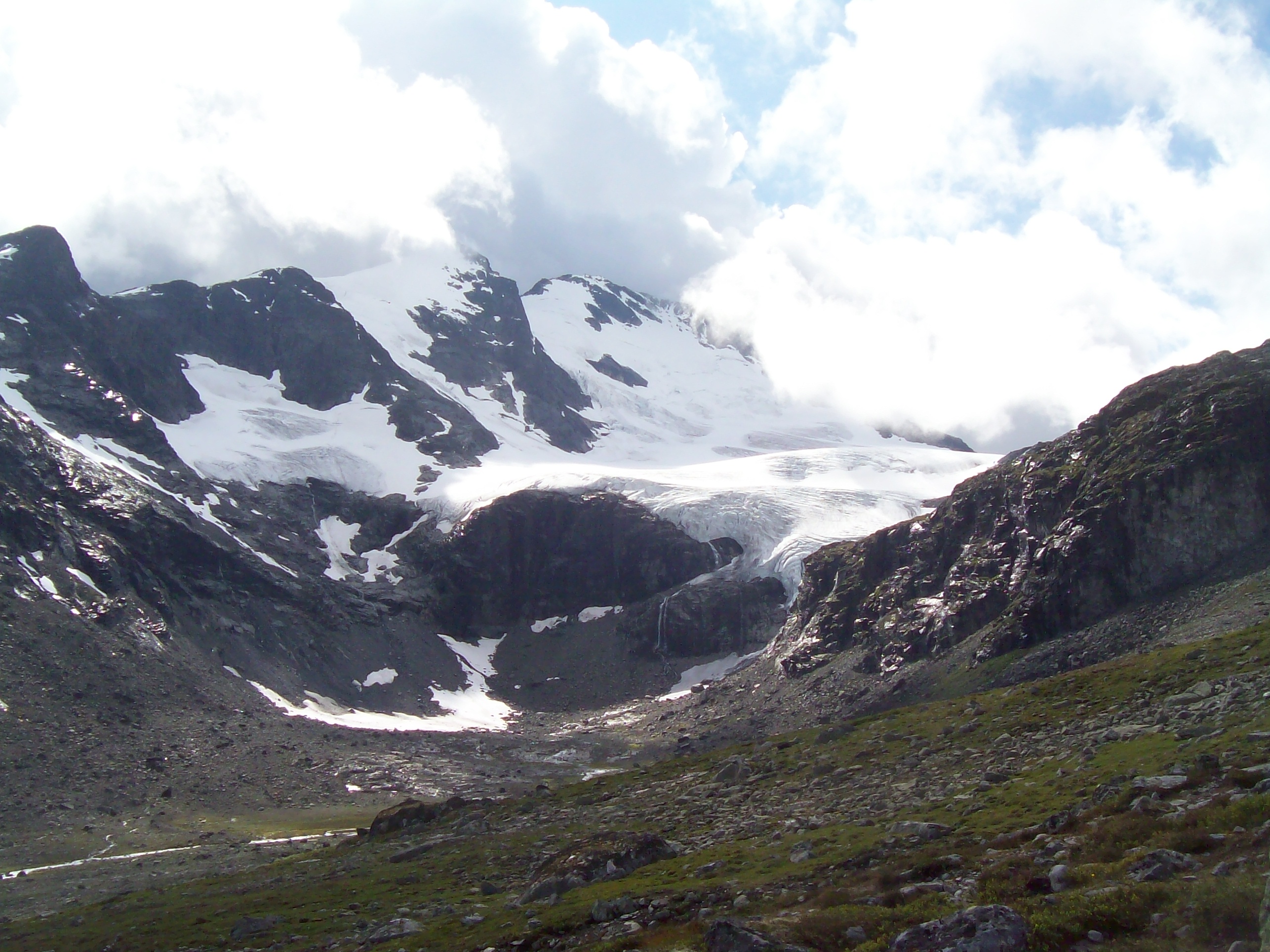
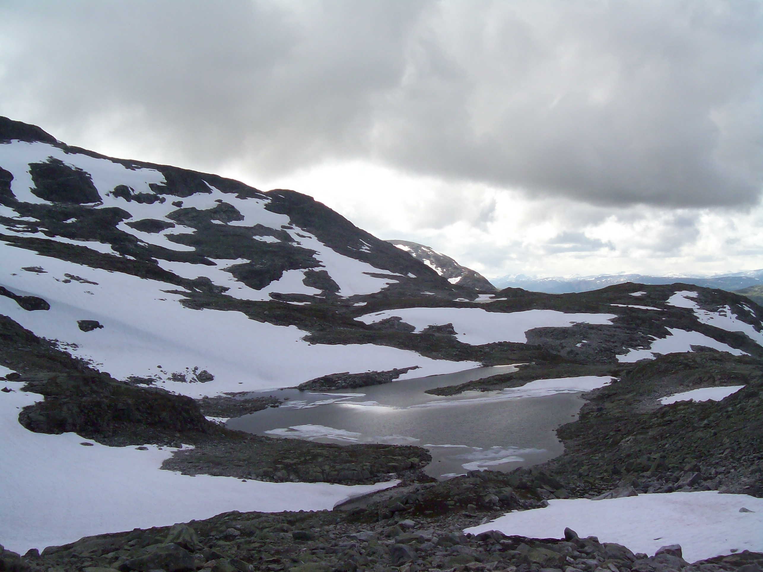
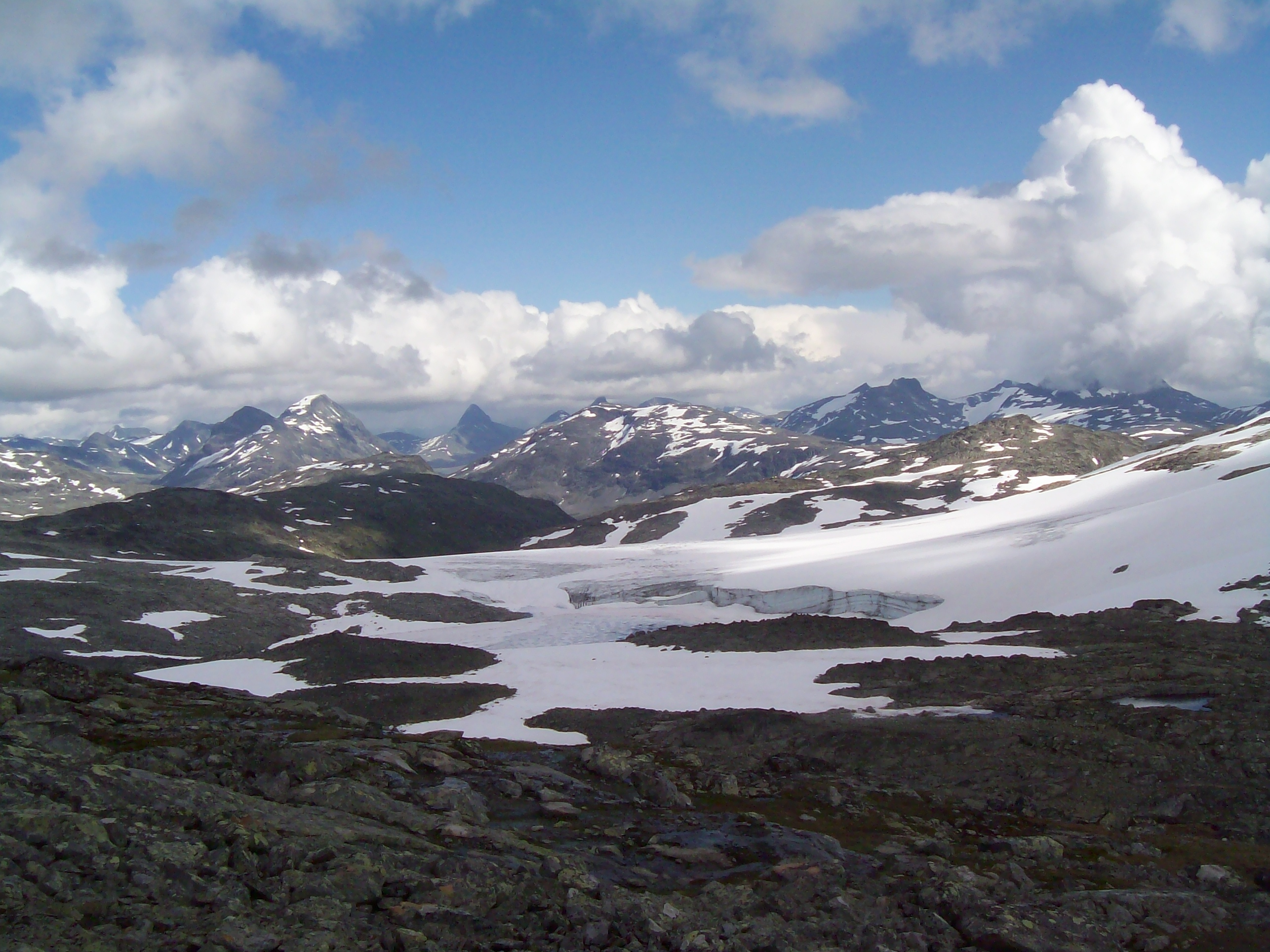
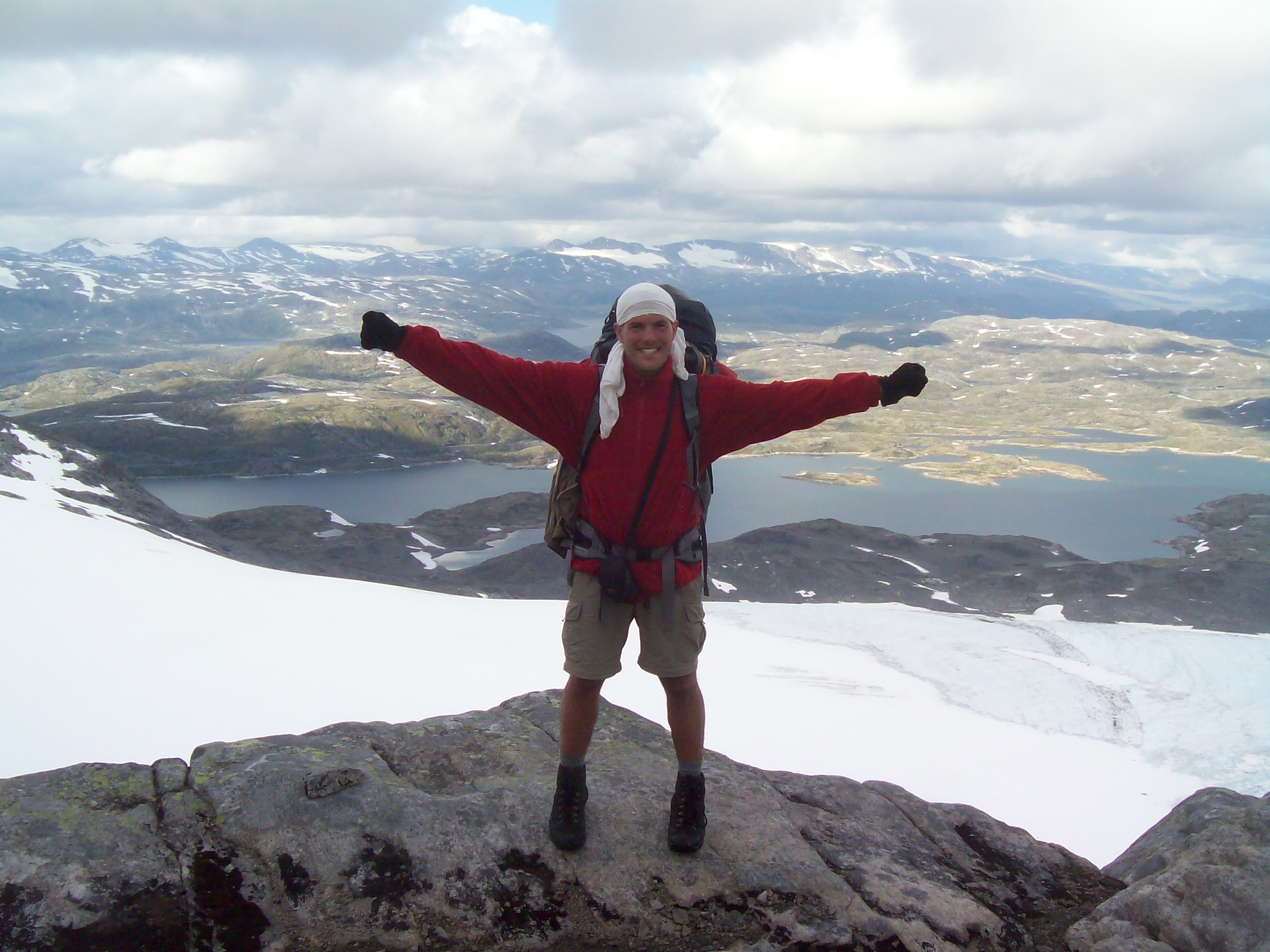
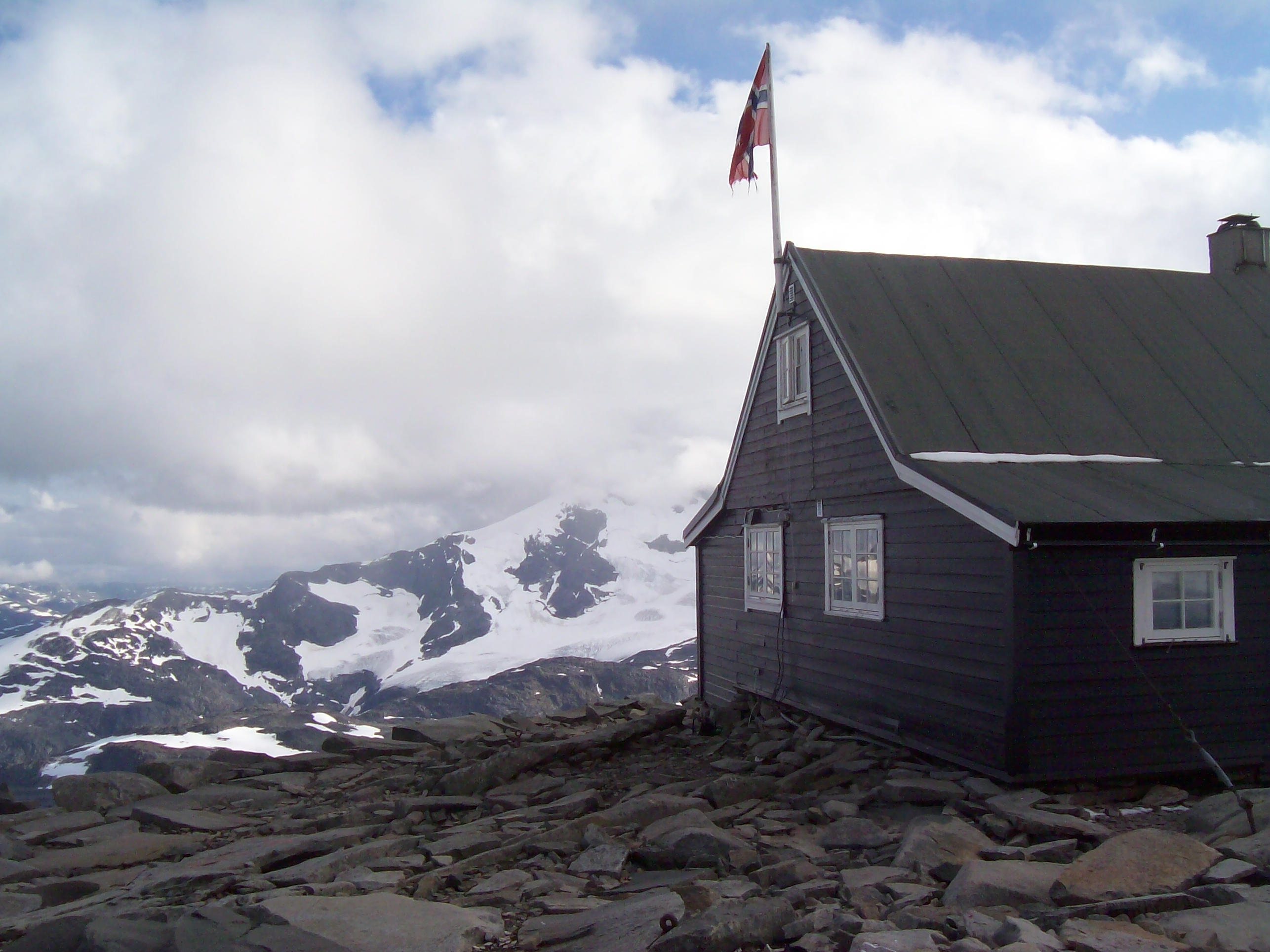
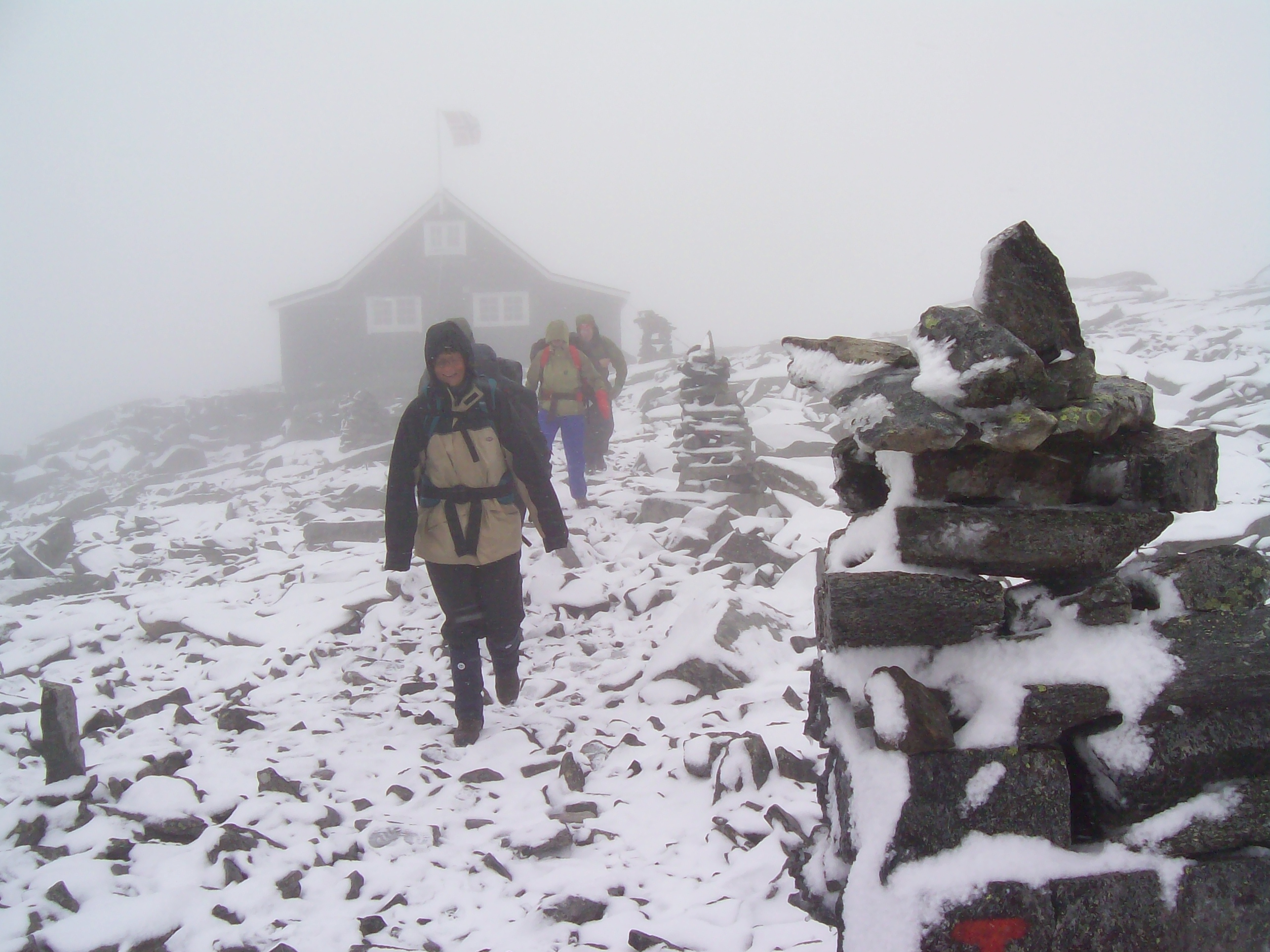
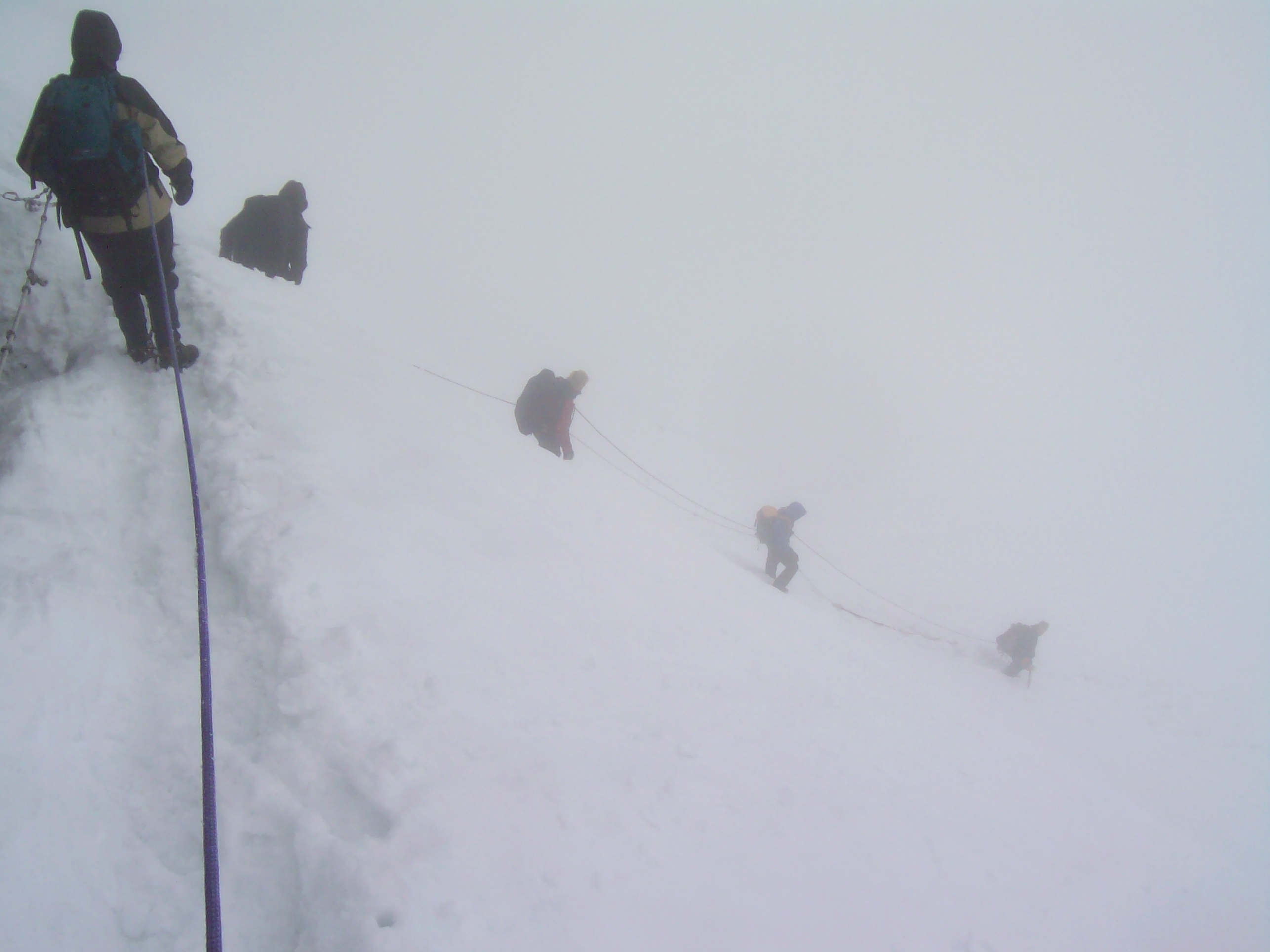
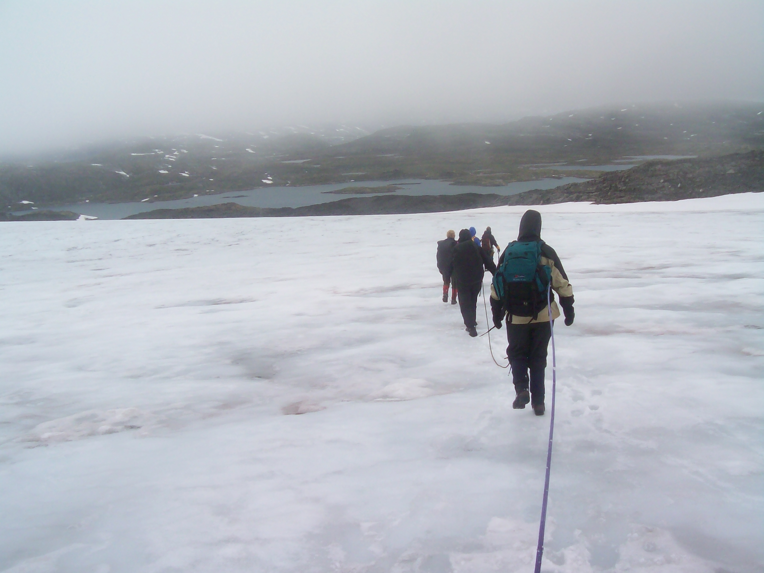
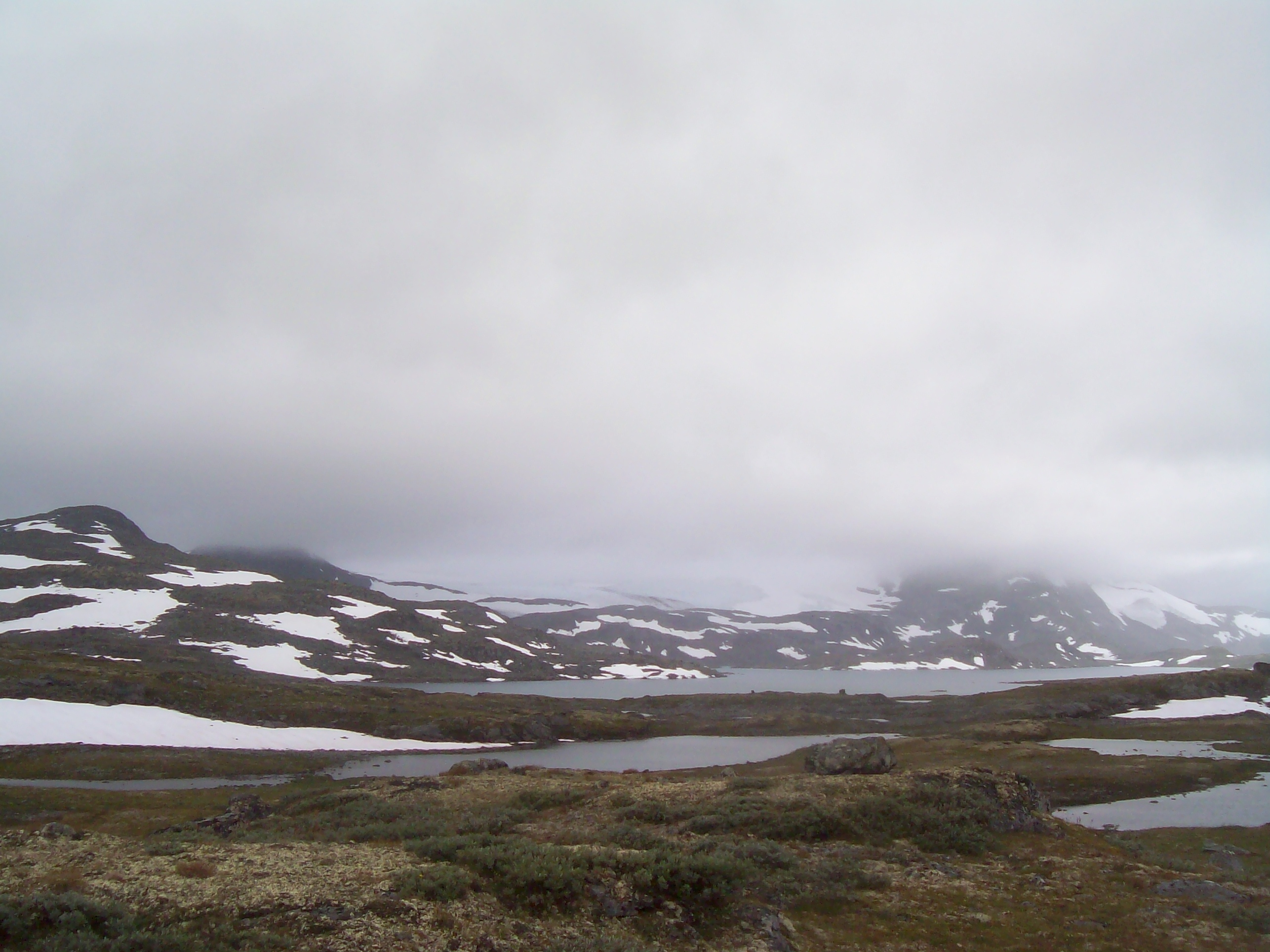
The third week is shorter in distance but reaches the highest point shown anywhere in the archived elevation profiles: 2,049 metres. The photographs shift between green valleys, snow, exposed high ground and DNT trail markers — a compact chapter with a distinctly alpine feel.

The route map places this stage on the western edge of Jotunheimen, threading north toward Sognefjell. The photographs capture the contrast that defines this part of Norway: low valleys and huts below, snowfields and broad mountain views above.