Chapter 03
Norway

Bøvertun → Sota

Week four across the mountain country west of Jotunheimen.

Distance63.59 kmLow point720 mHigh point1,563 mJourney50 days
Route overview

Bøvertun → Sota

BøvertunSota
Elevation character

Rhythm of the stage

starthigh countryfinish

This graphic is illustrative, not a measured elevation profile.

Bøvertun to Sota #1
Bøvertun to Sota #2
Bøvertun to Sota #3
Bøvertun to Sota #4
Bøvertun to Sota #5
Bøvertun to Sota #6
Bøvertun to Sota #7
Bøvertun to Sota #8
Bøvertun to Sota #9
Bøvertun to Sota #10
Bøvertun to Sota #11
Bøvertun to Sota #12
Bøvertun to Sota #13
Bøvertun to Sota #14
Bøvertun to Sota #15
Bøvertun to Sota #16
Bøvertun to Sota #17
Bøvertun to Sota #18
Bøvertun to Sota #19
View the journey map
The journey map for Bøvertun to Sota
Journey map · Bøvertun → SotaMap · elevation profile · trail photographs
Snow, water and summer colour

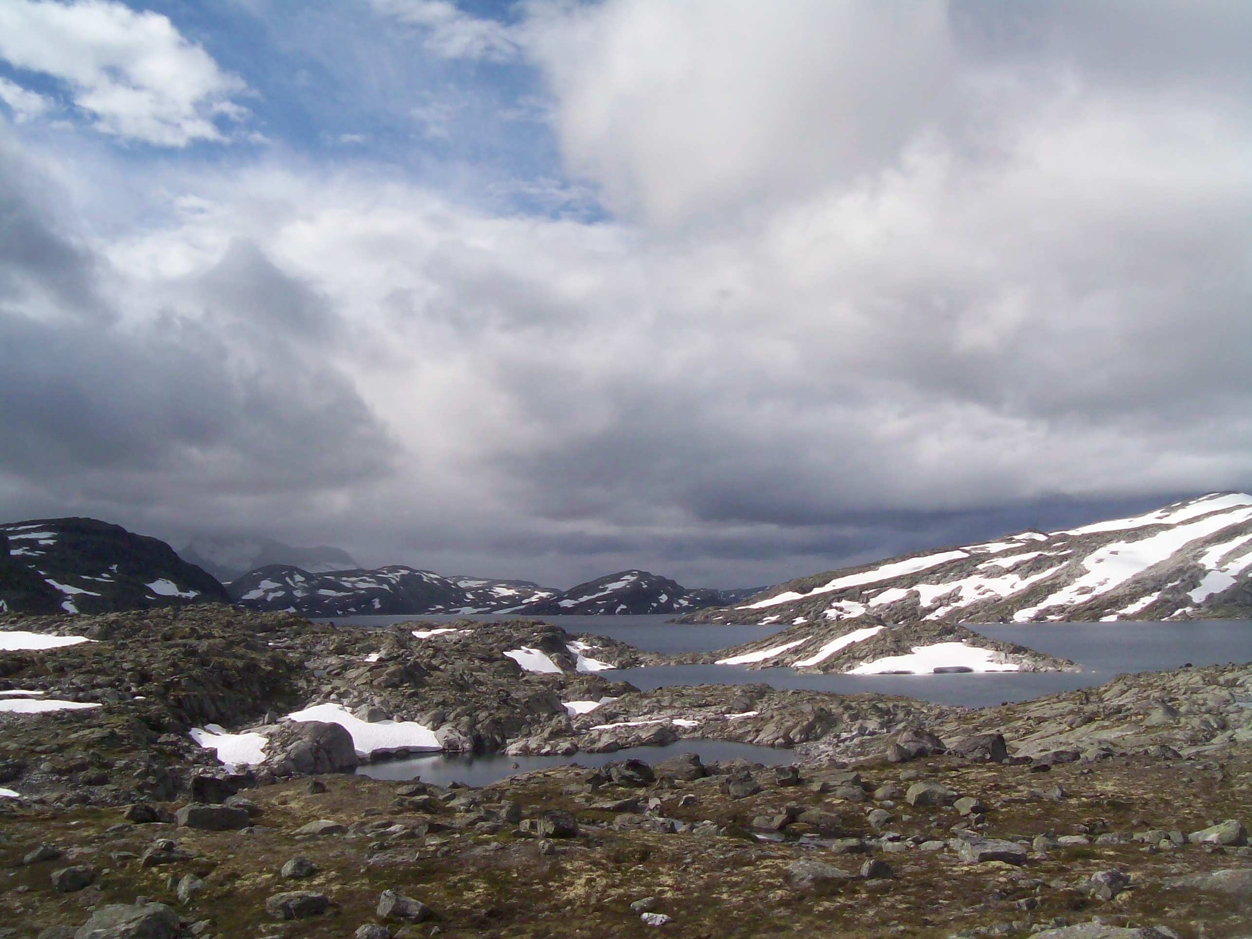
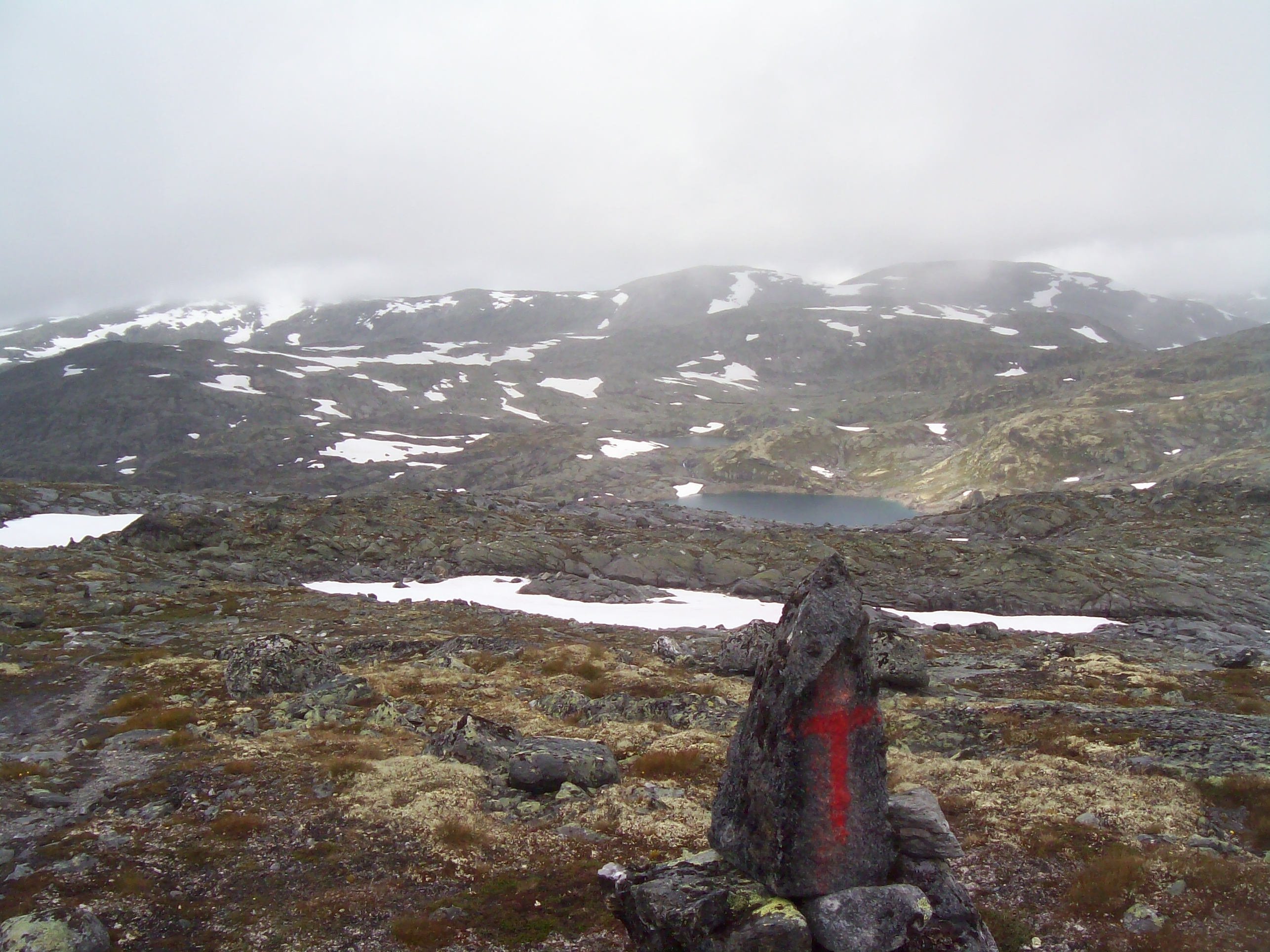
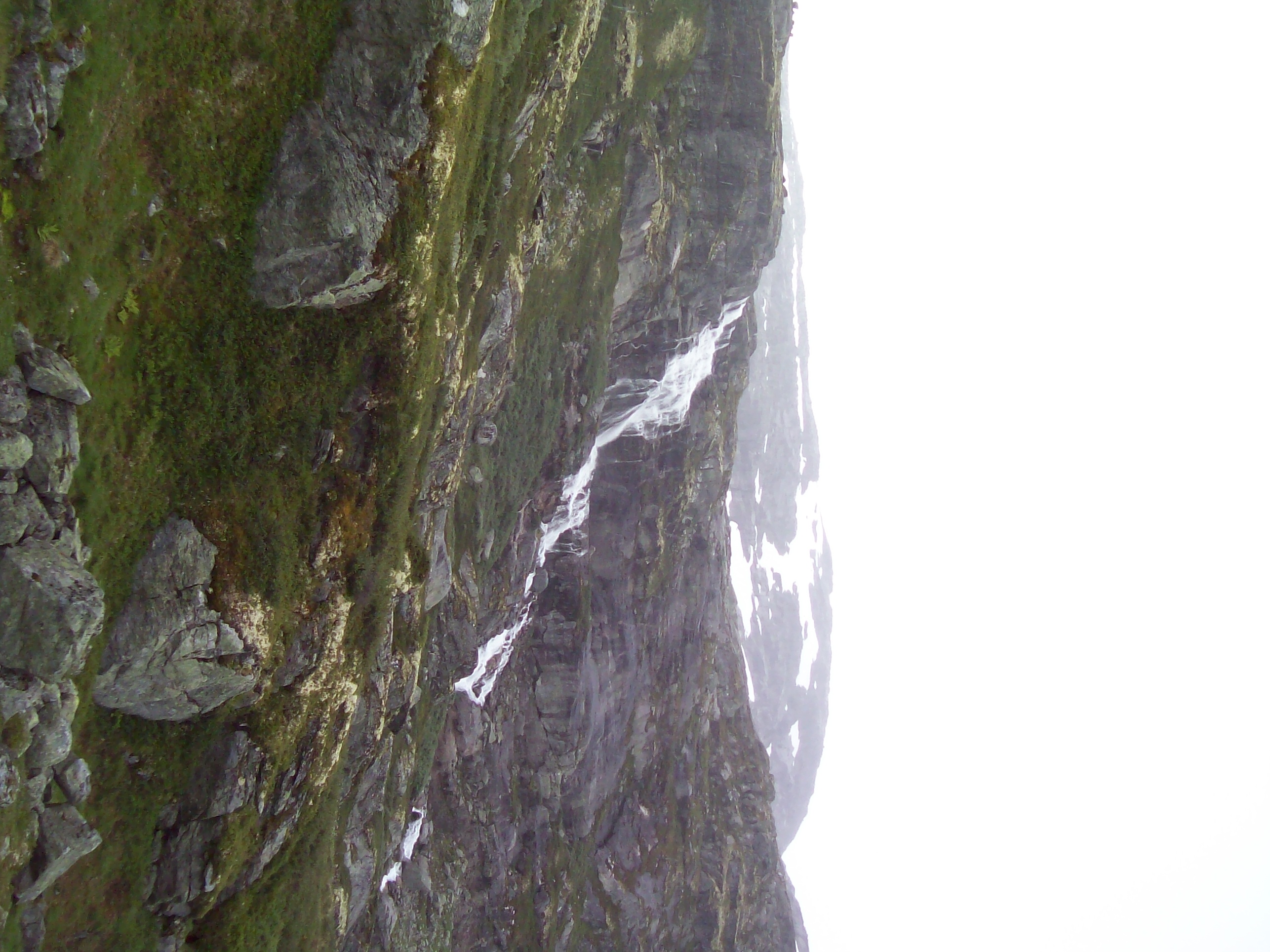
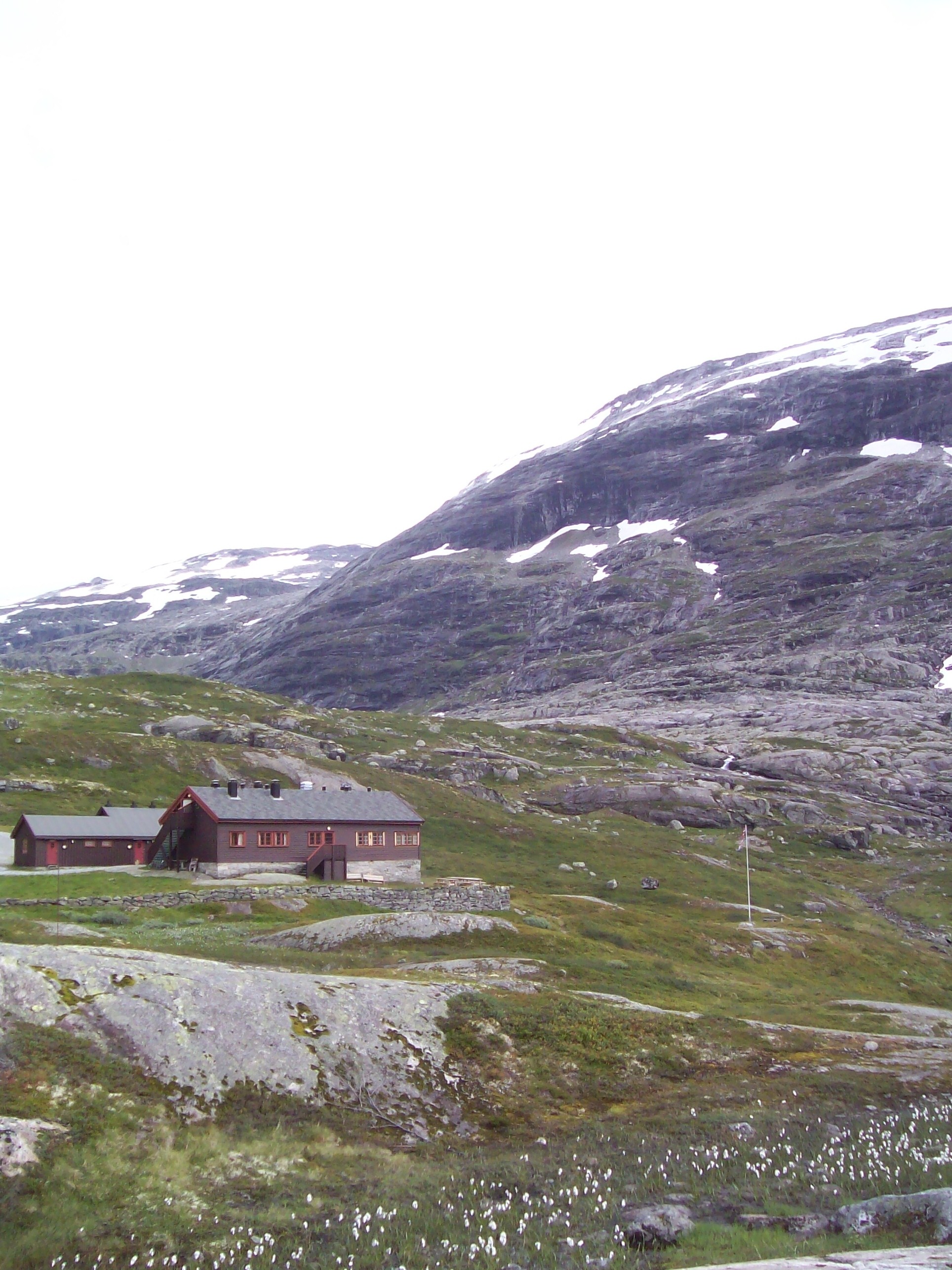
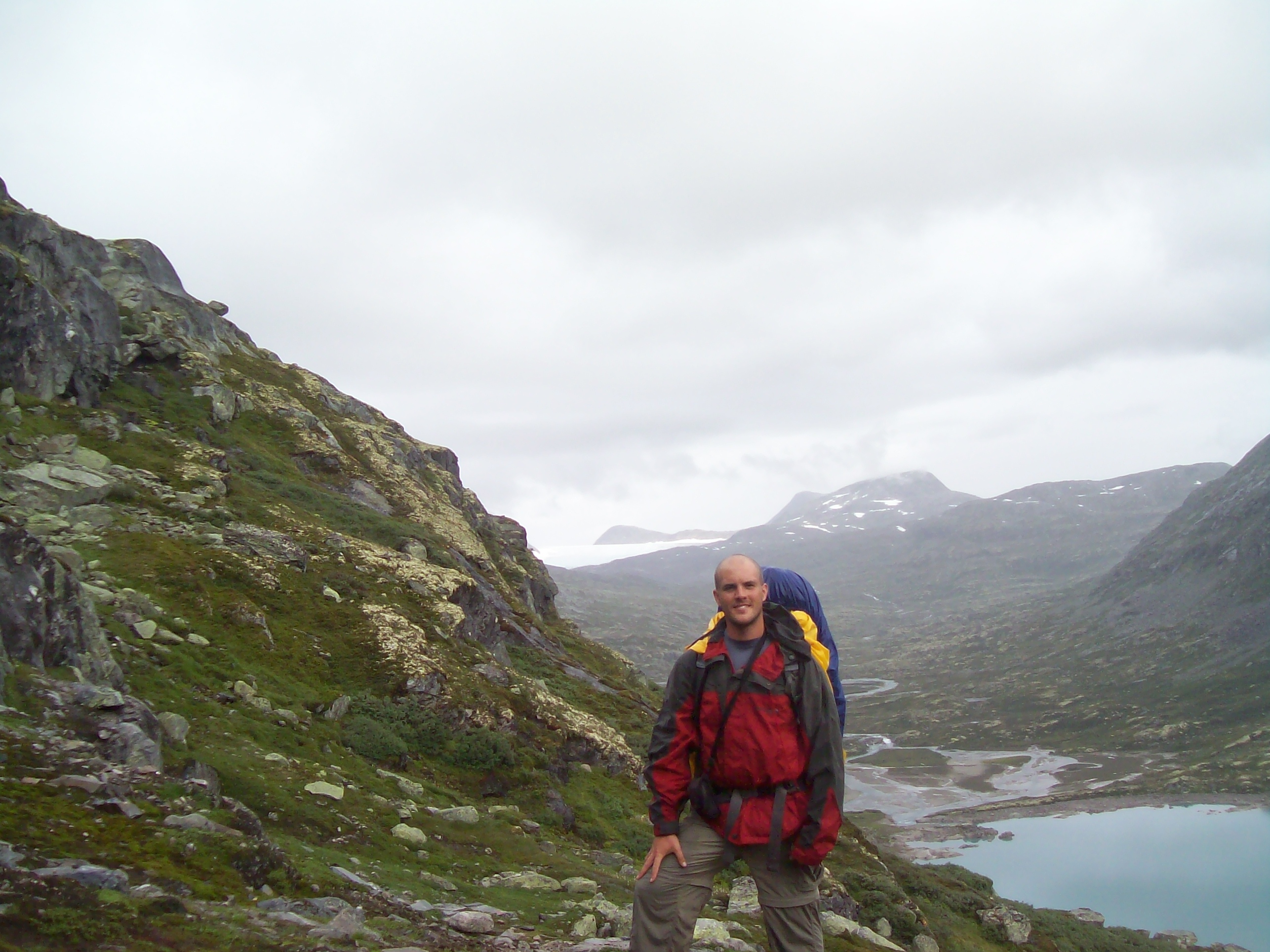
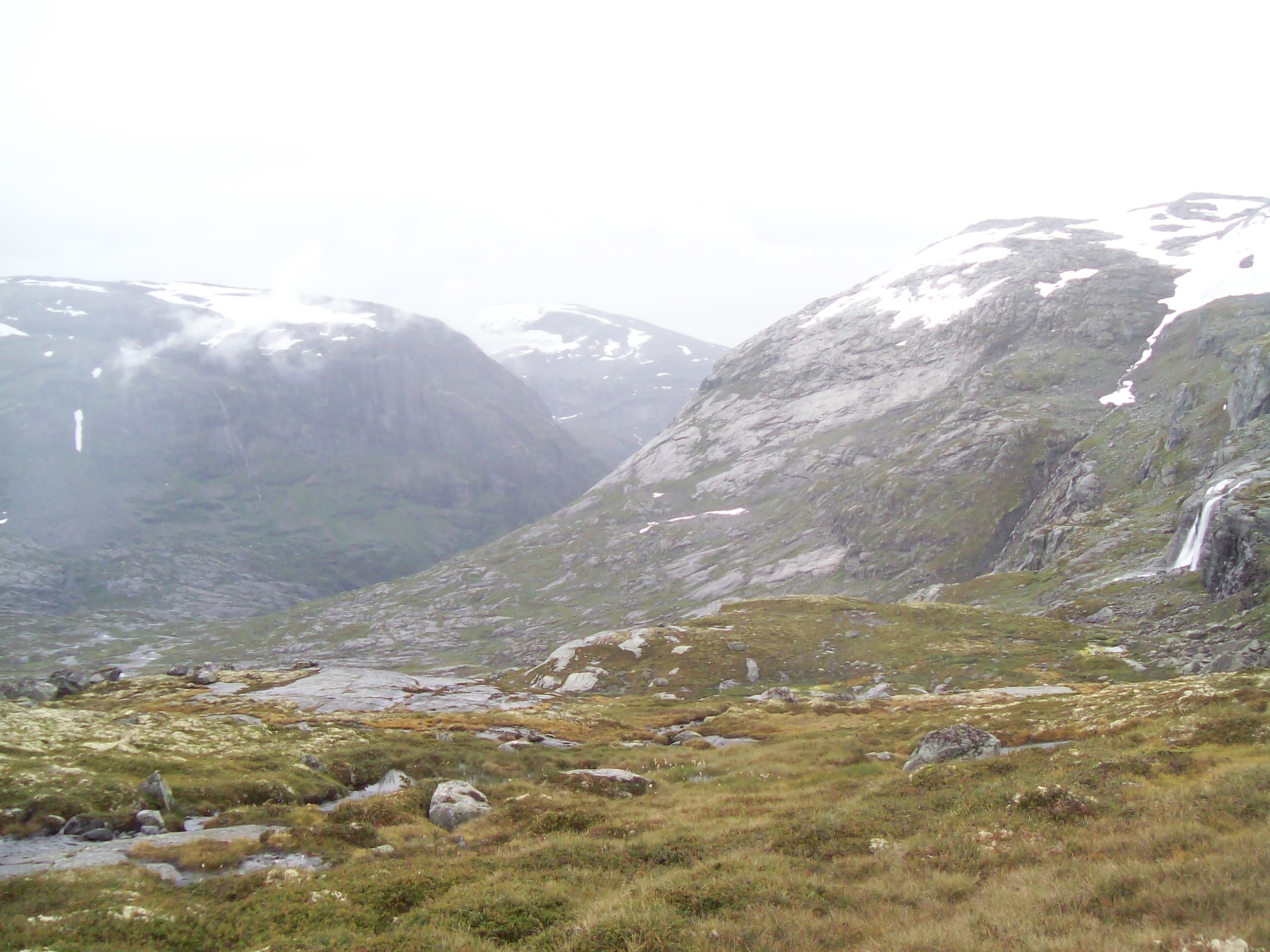
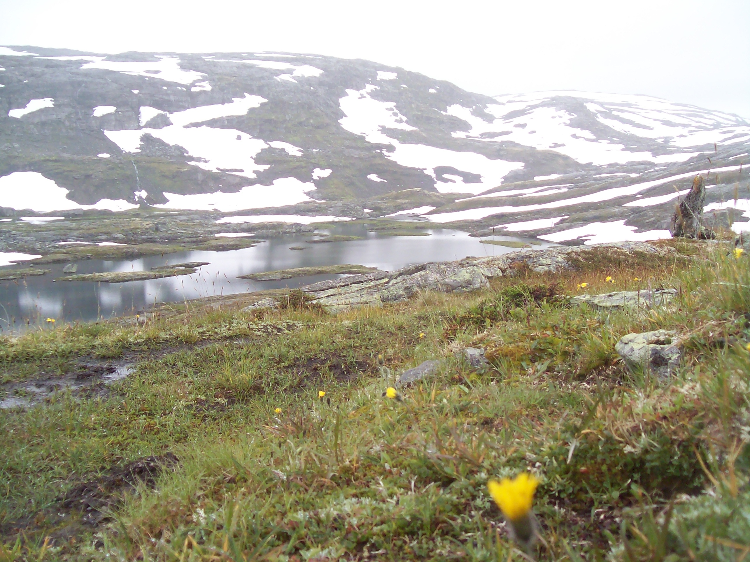
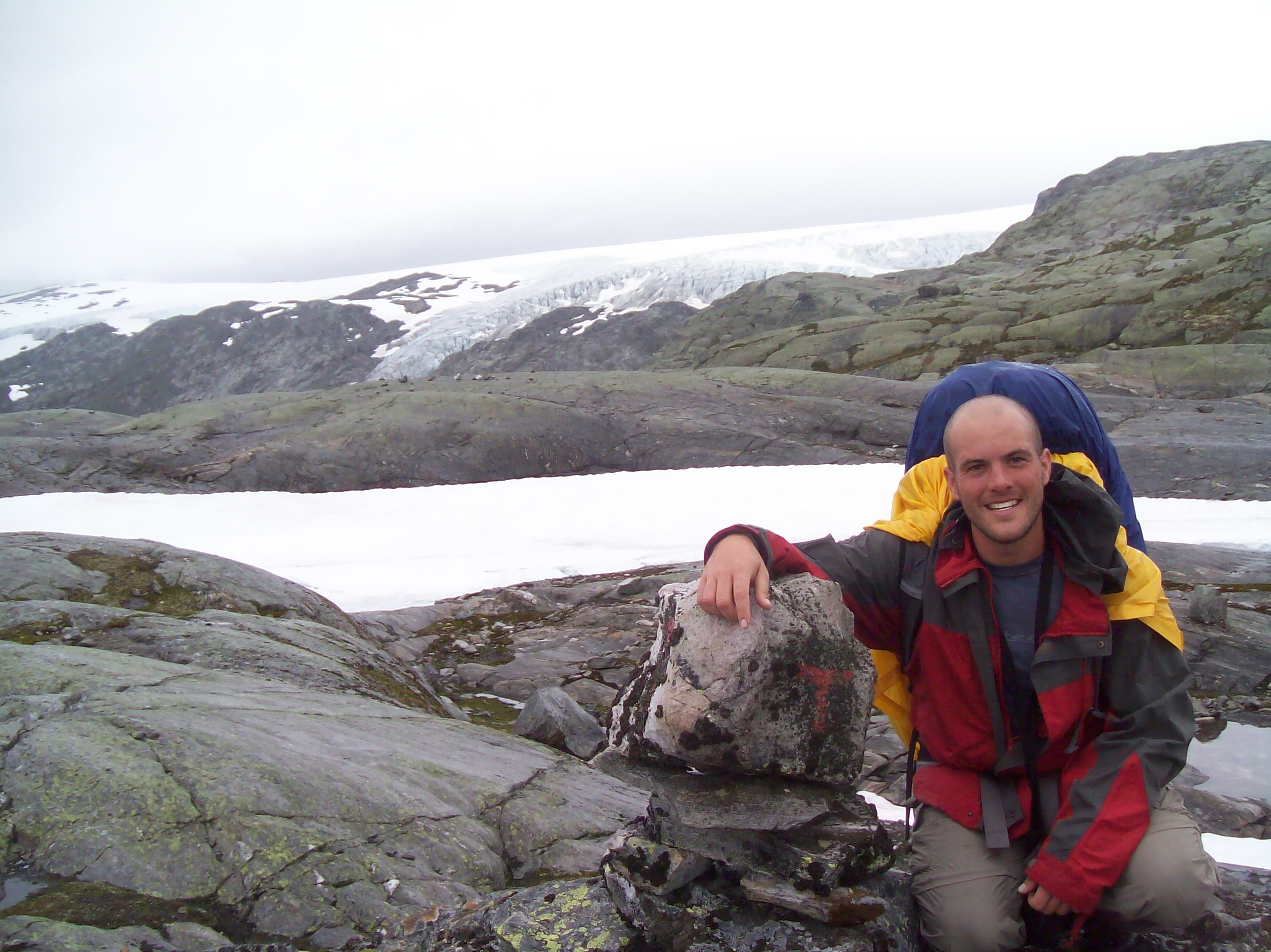
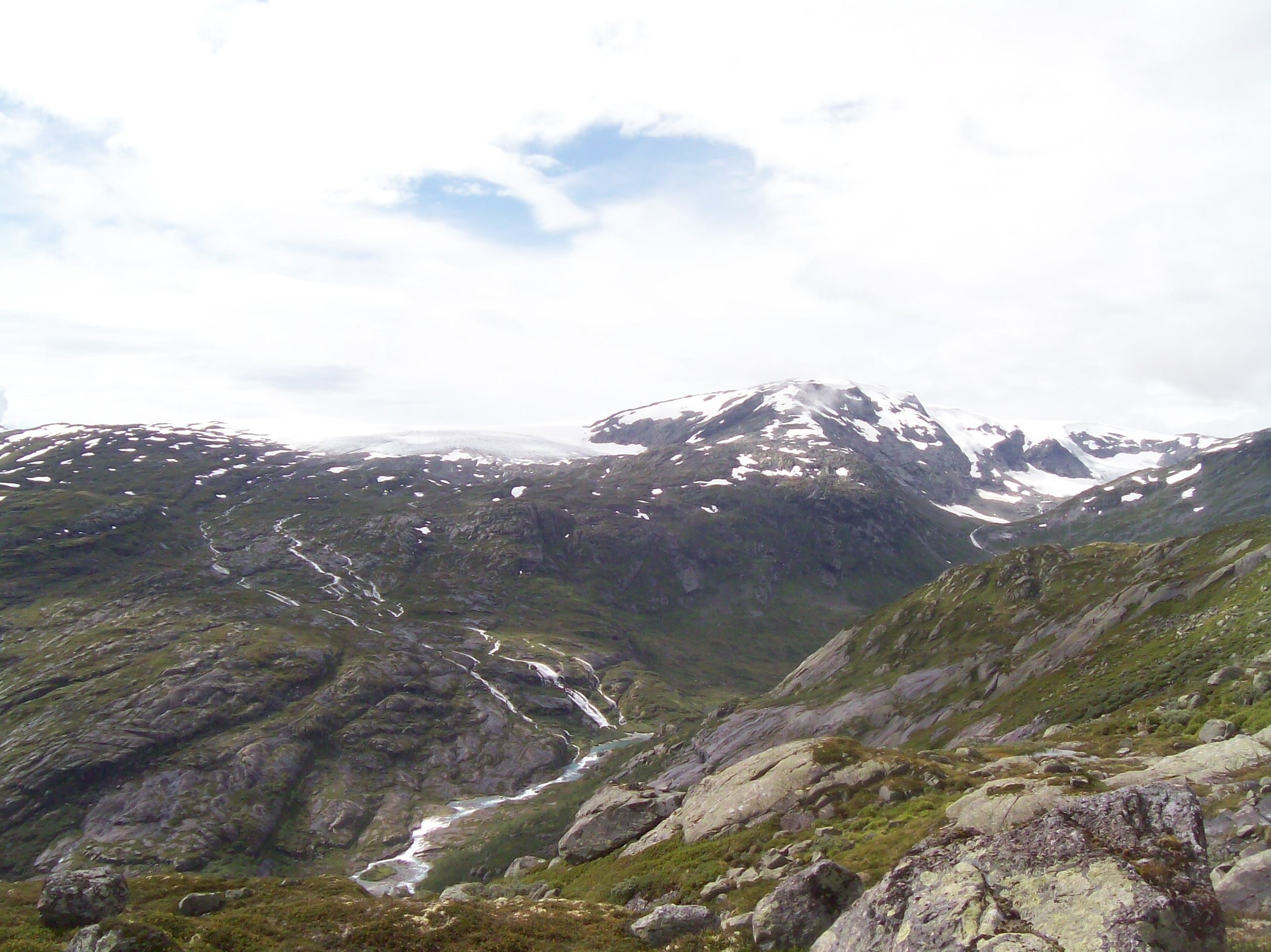
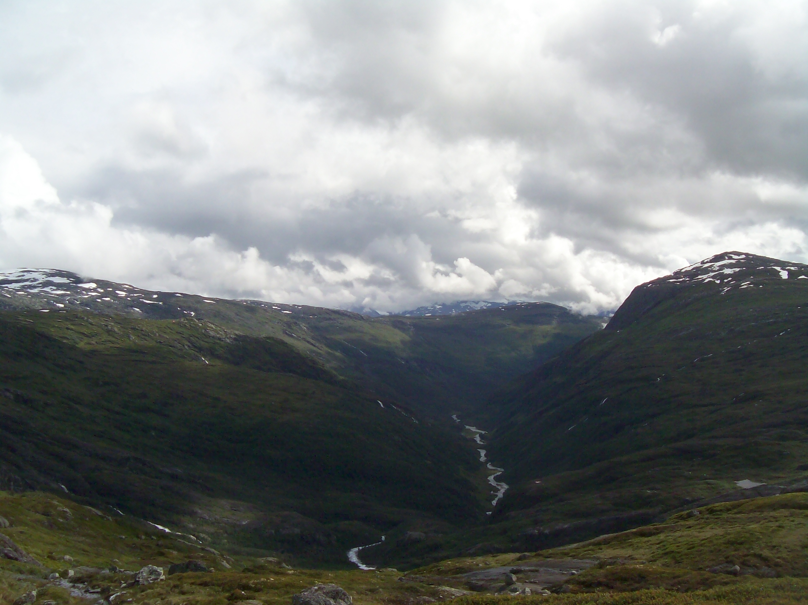
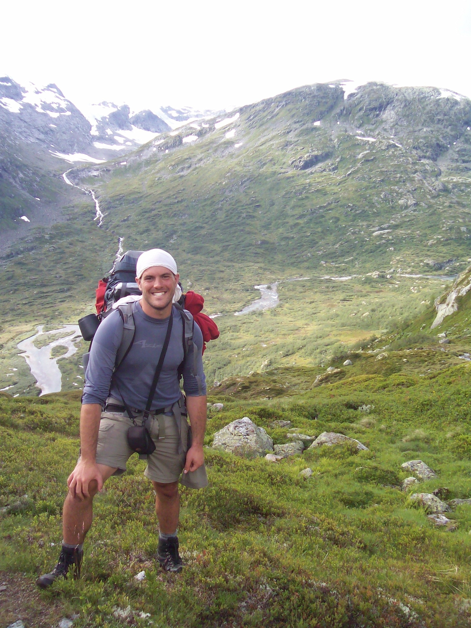
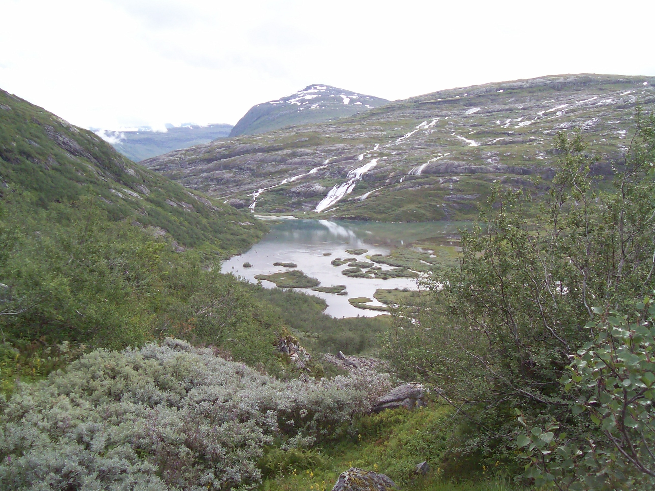
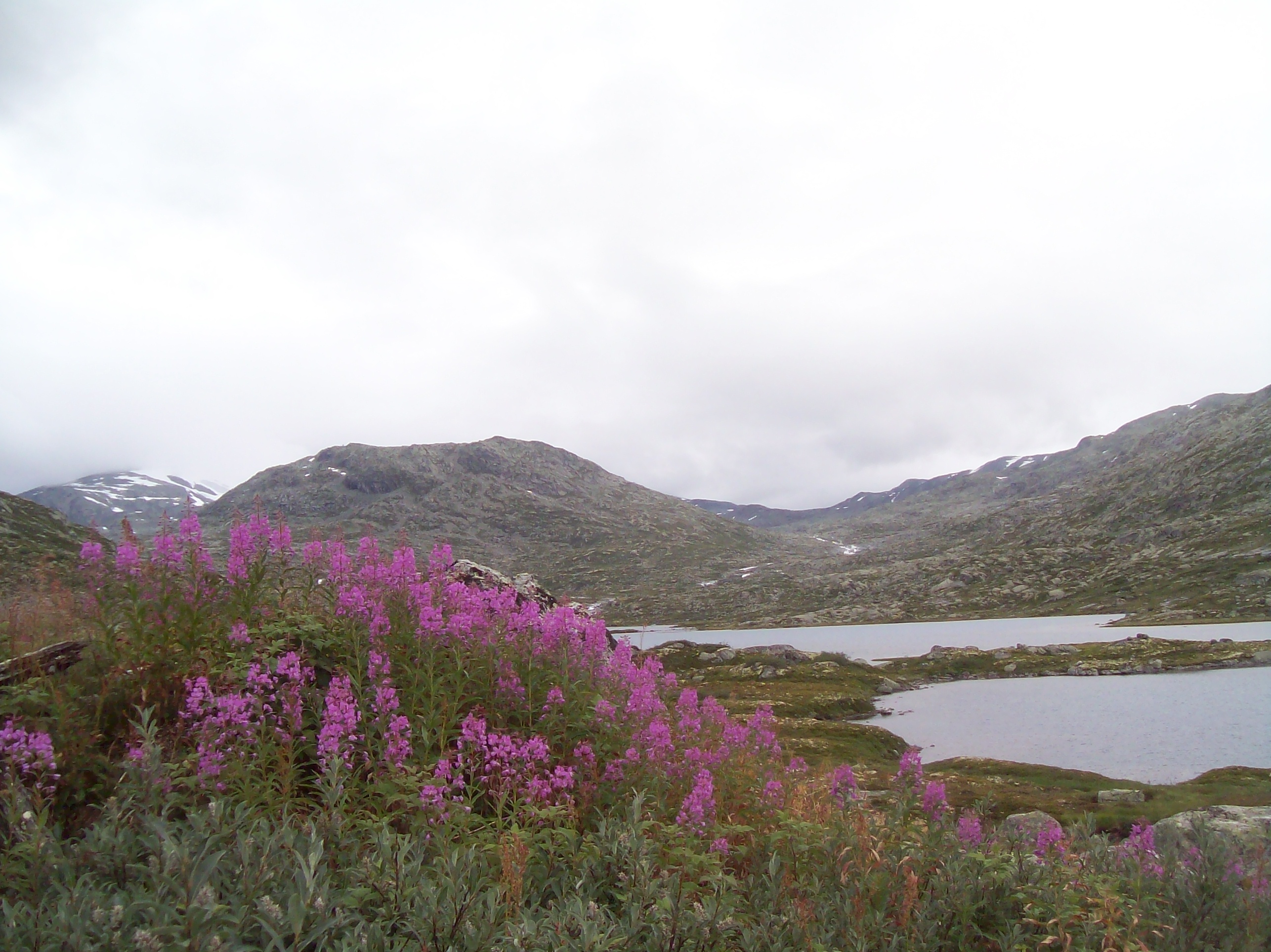
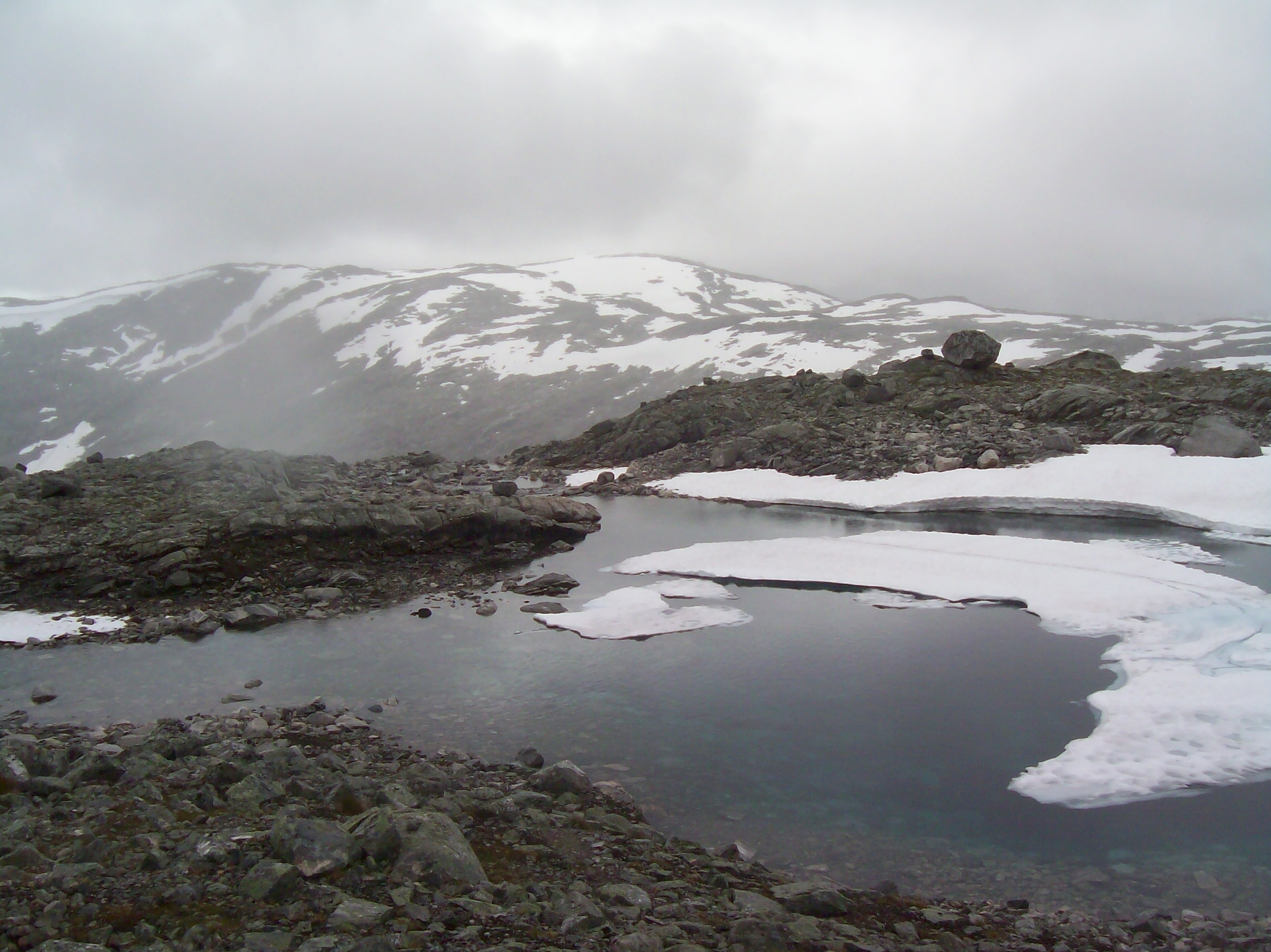
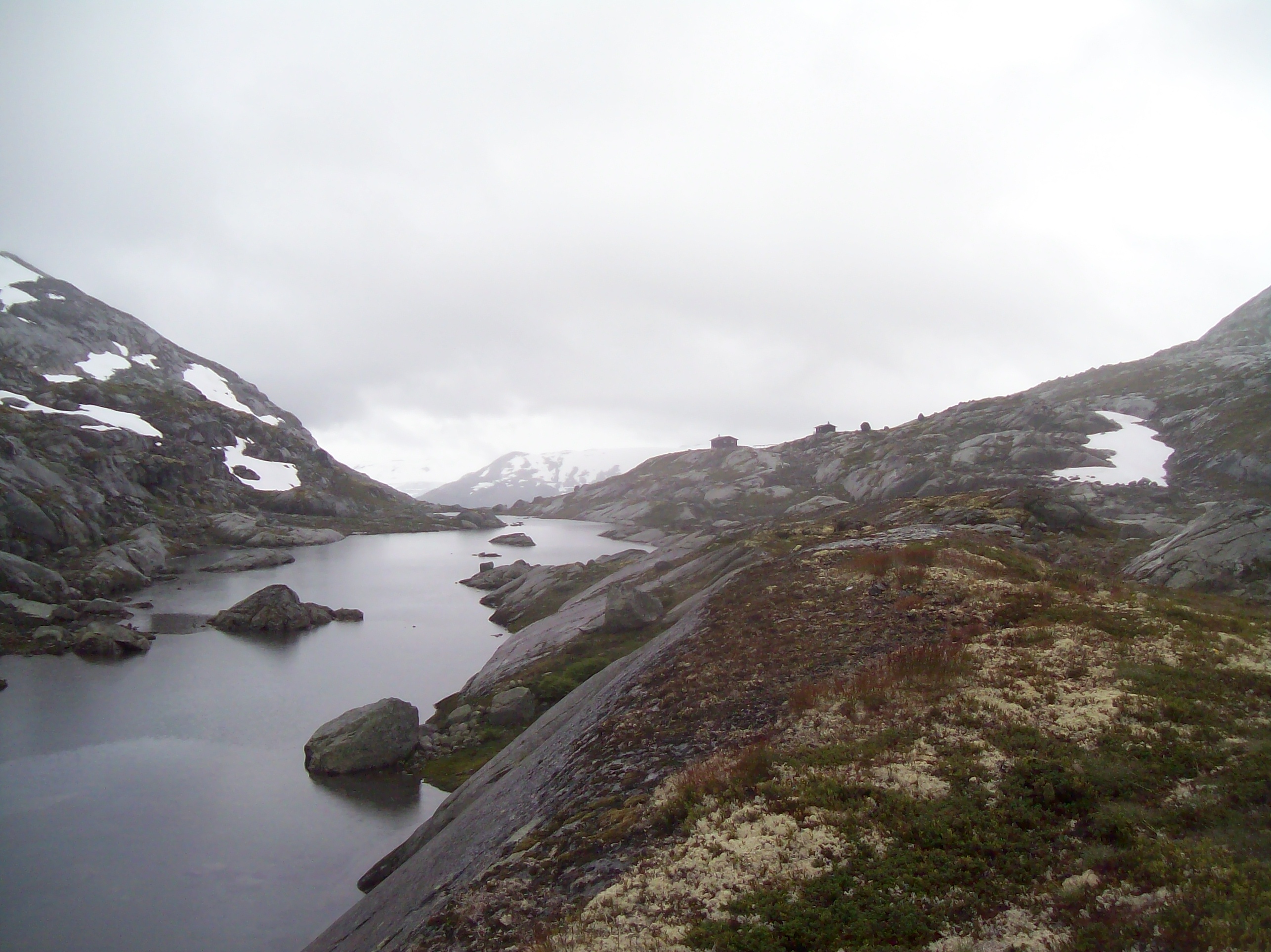
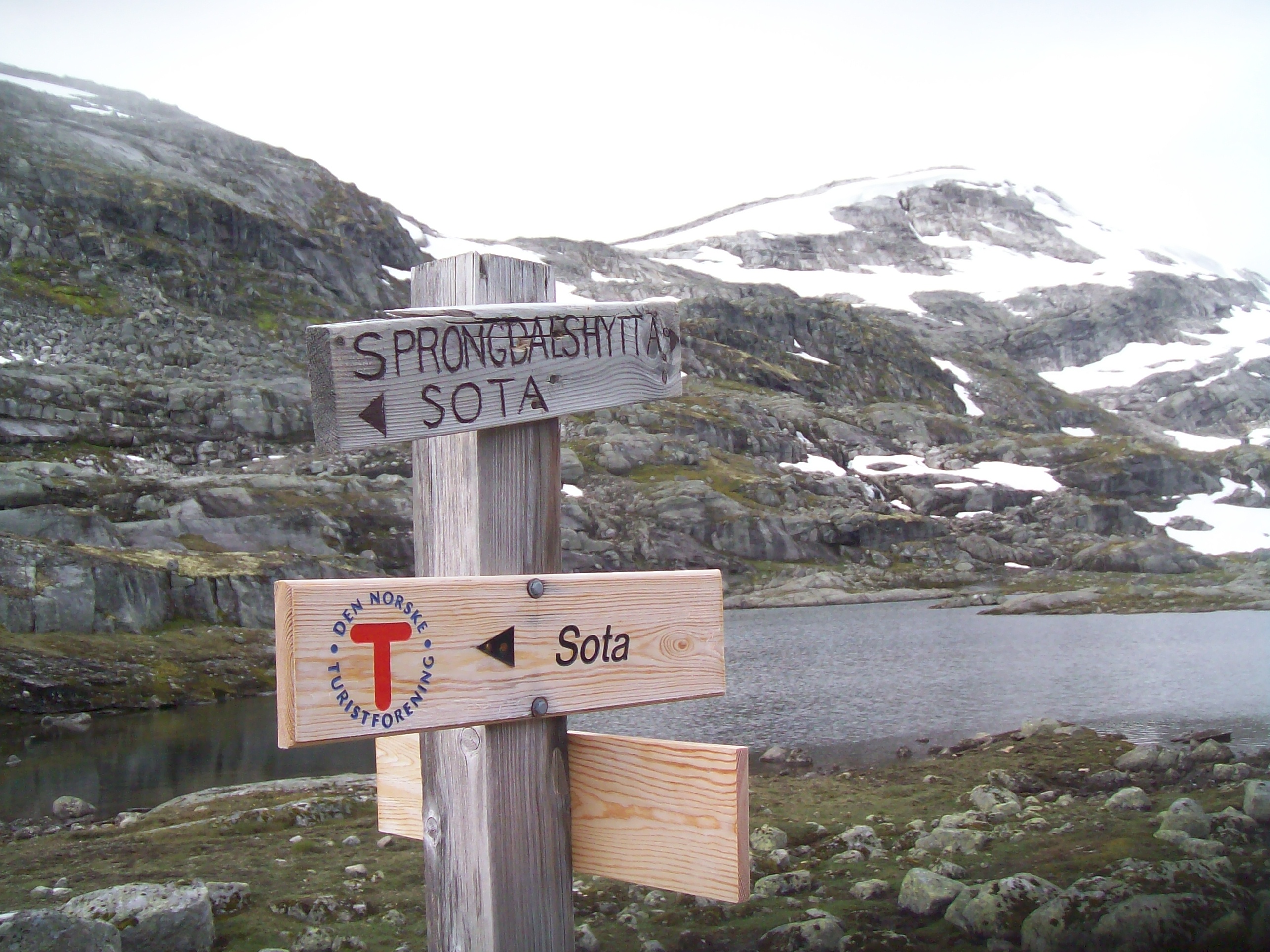
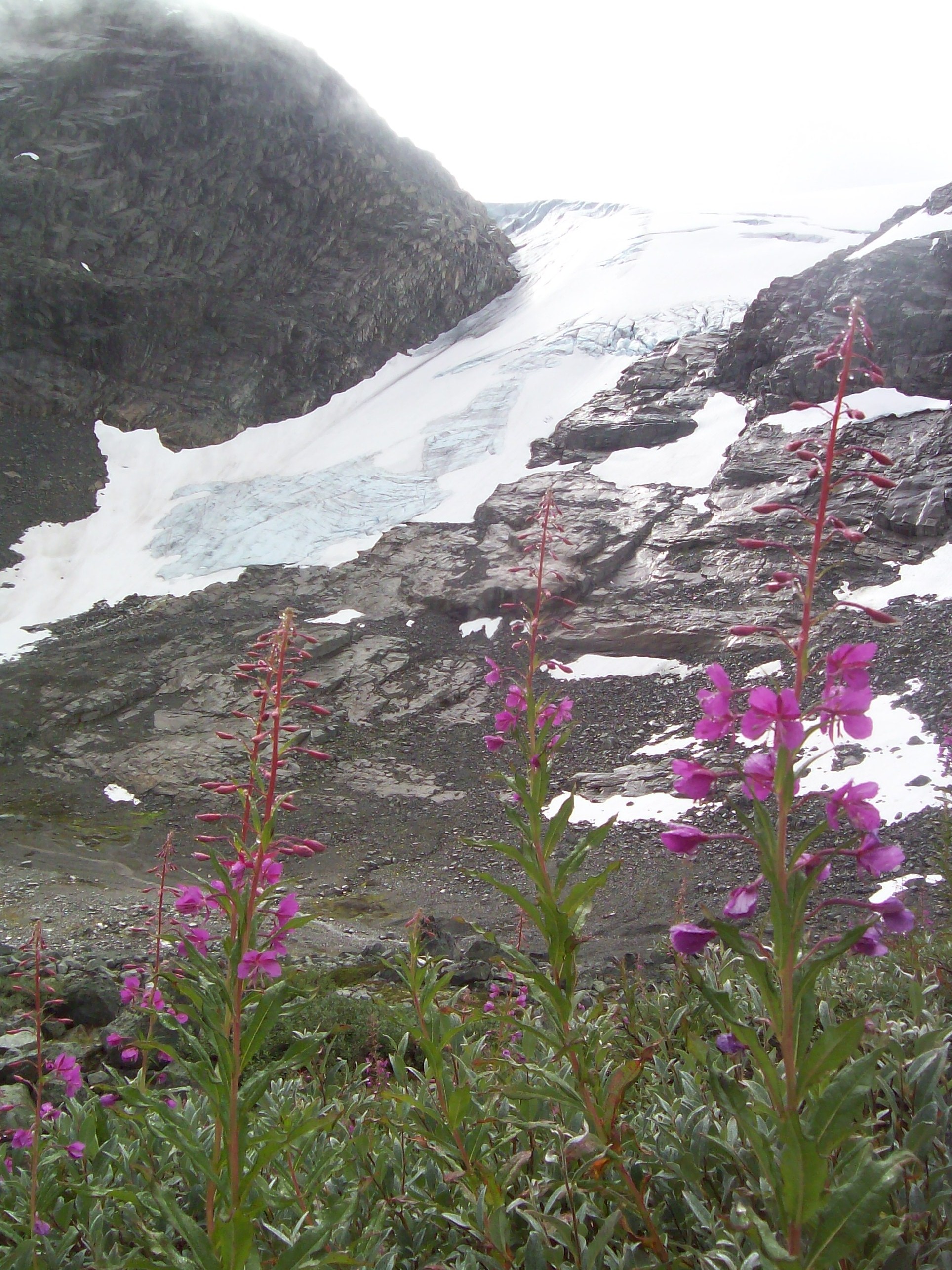
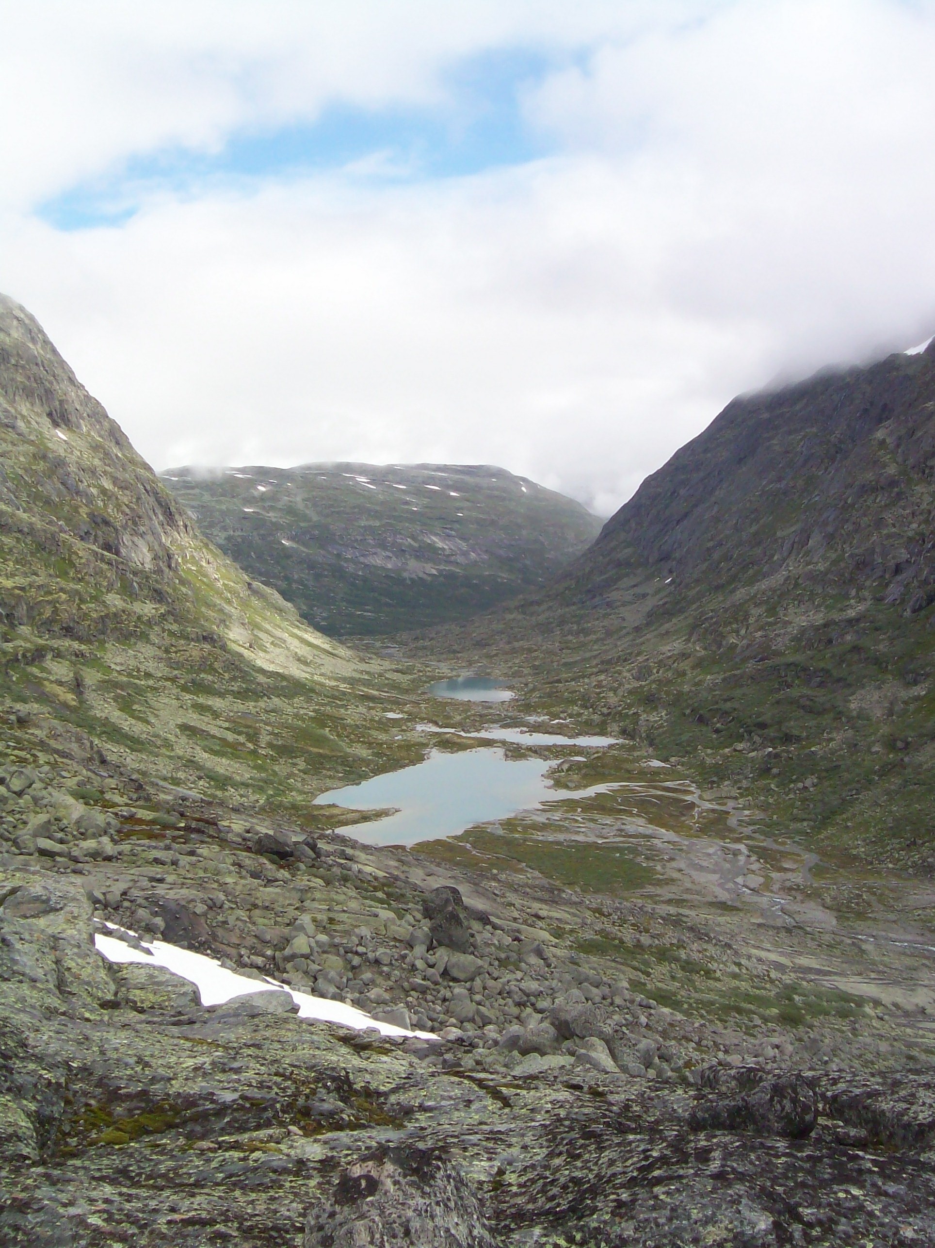
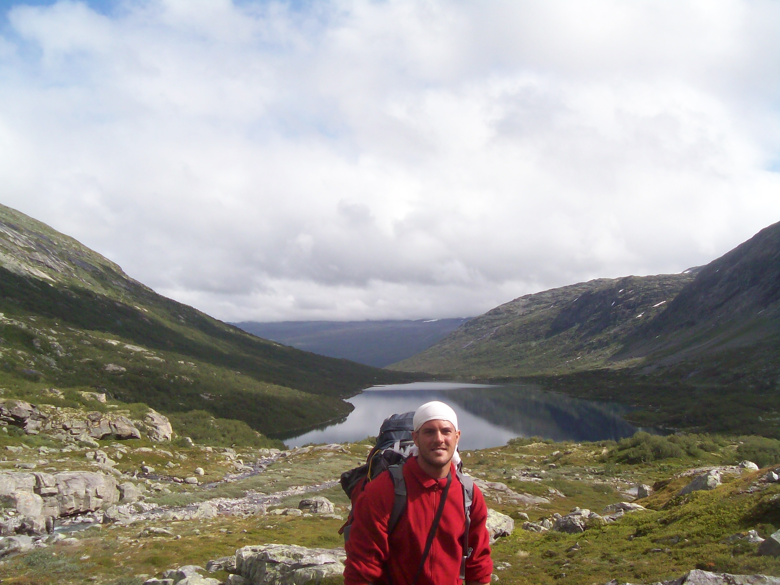
At 63.59 km, this is the shortest chapter of the crossing. The photographs show a landscape of lingering snow, lakes, wet mountain passes and bright fireweed — summer and winter sharing the same frame.

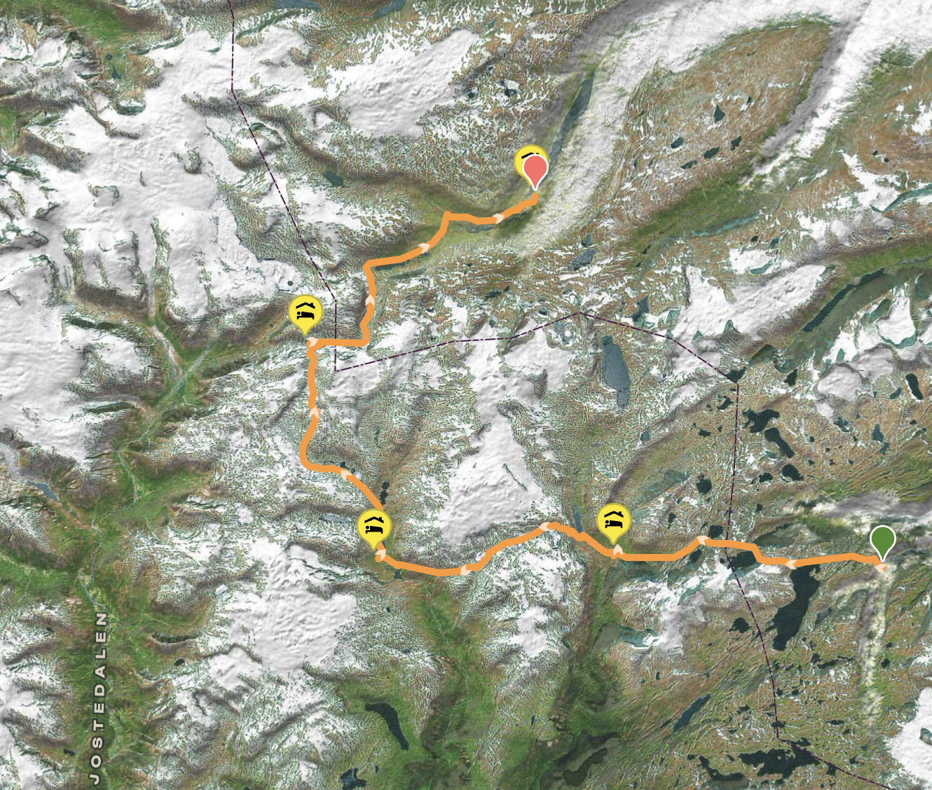
The elevation profile is constantly rolling, with repeated climbs back above 1,400 metres. The map and photographs place the route among the mountains around Breheimen, continuing the northward progression toward Sota.